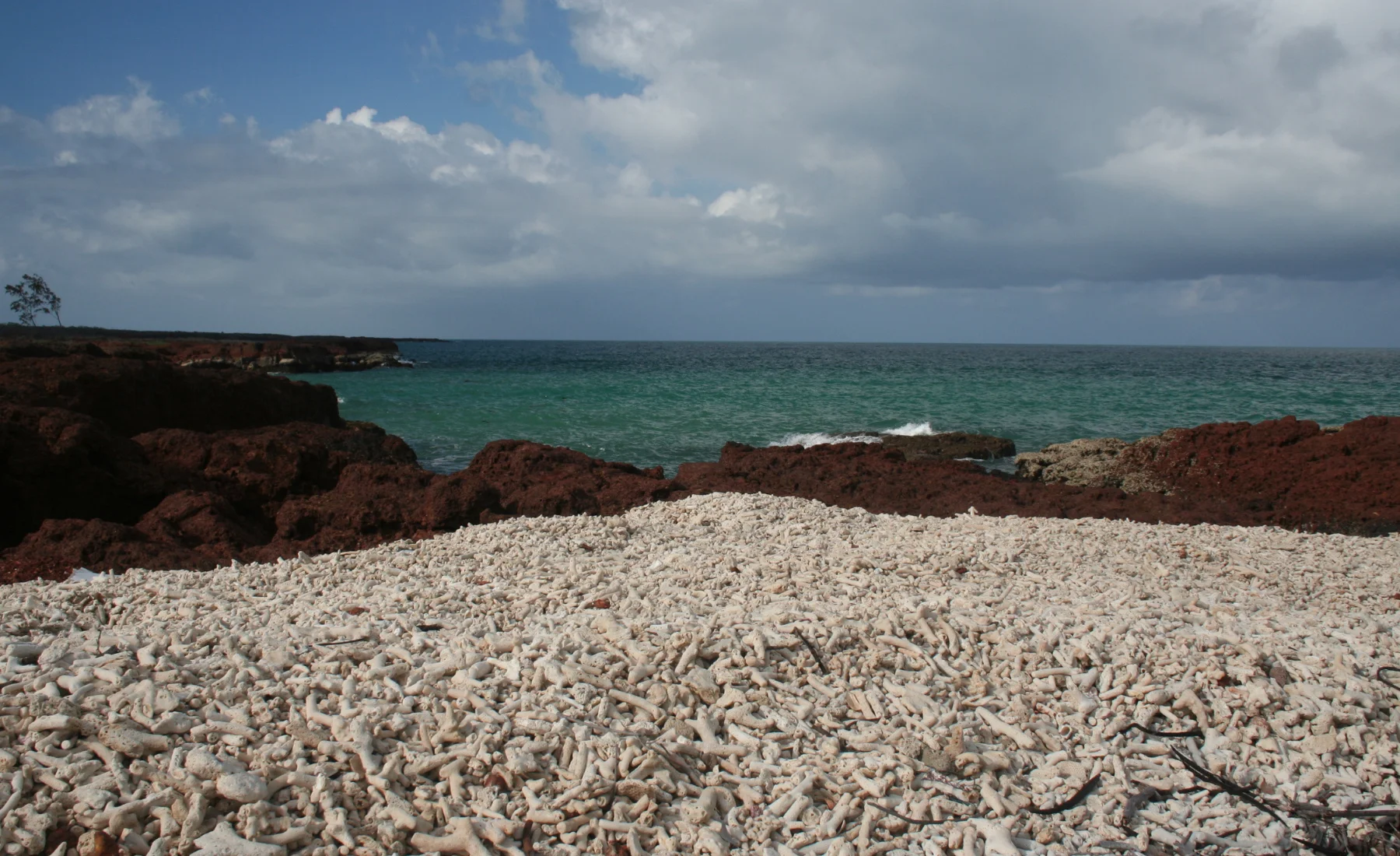
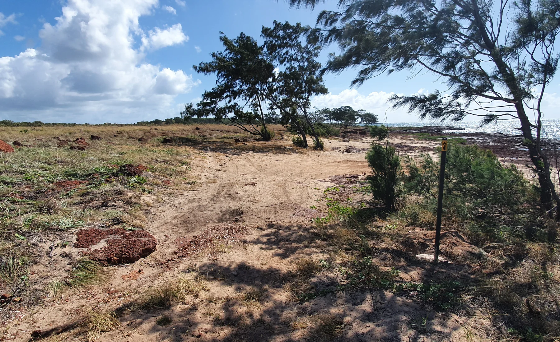
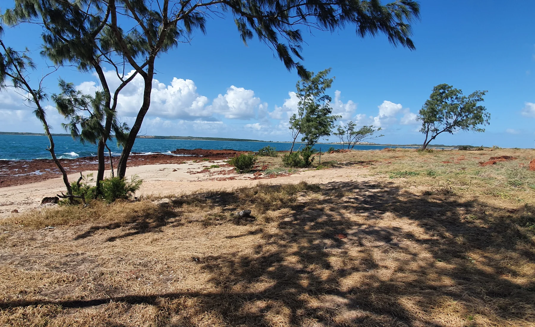
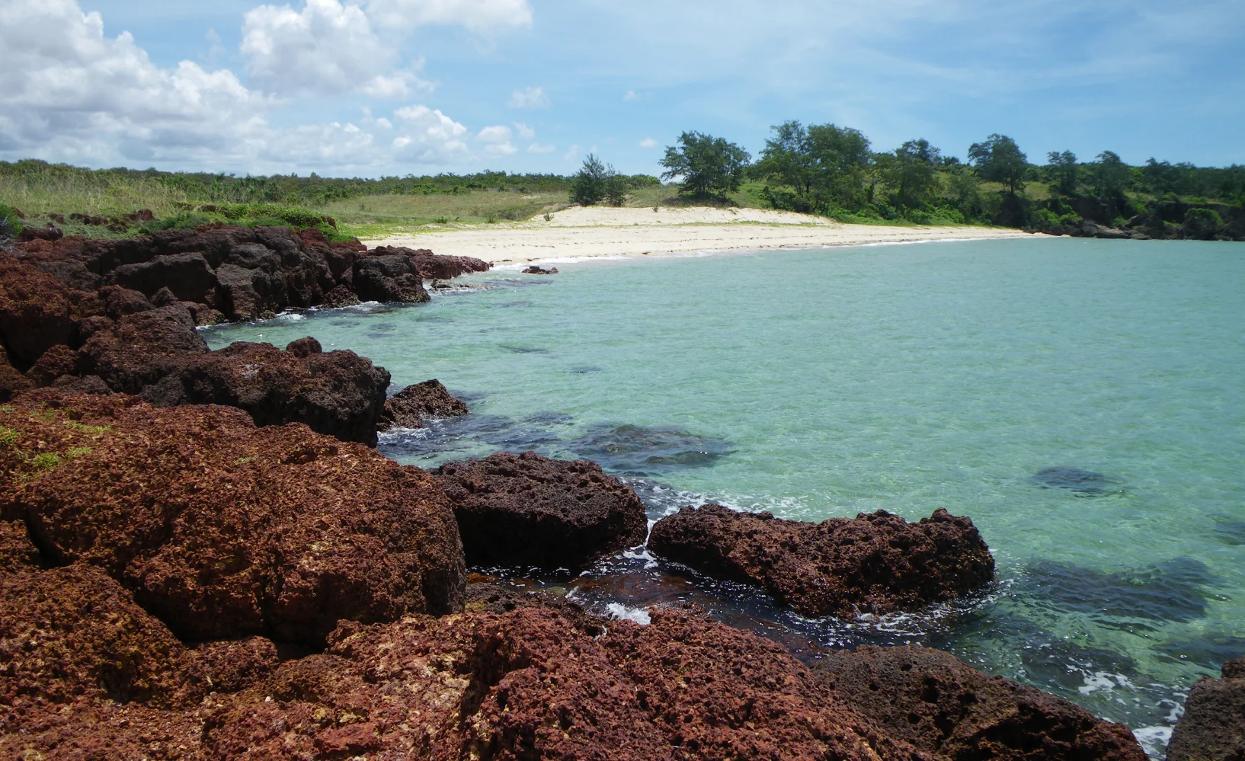
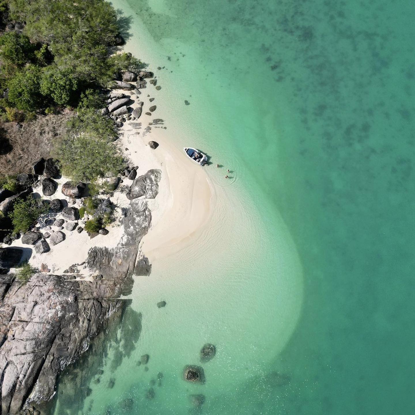
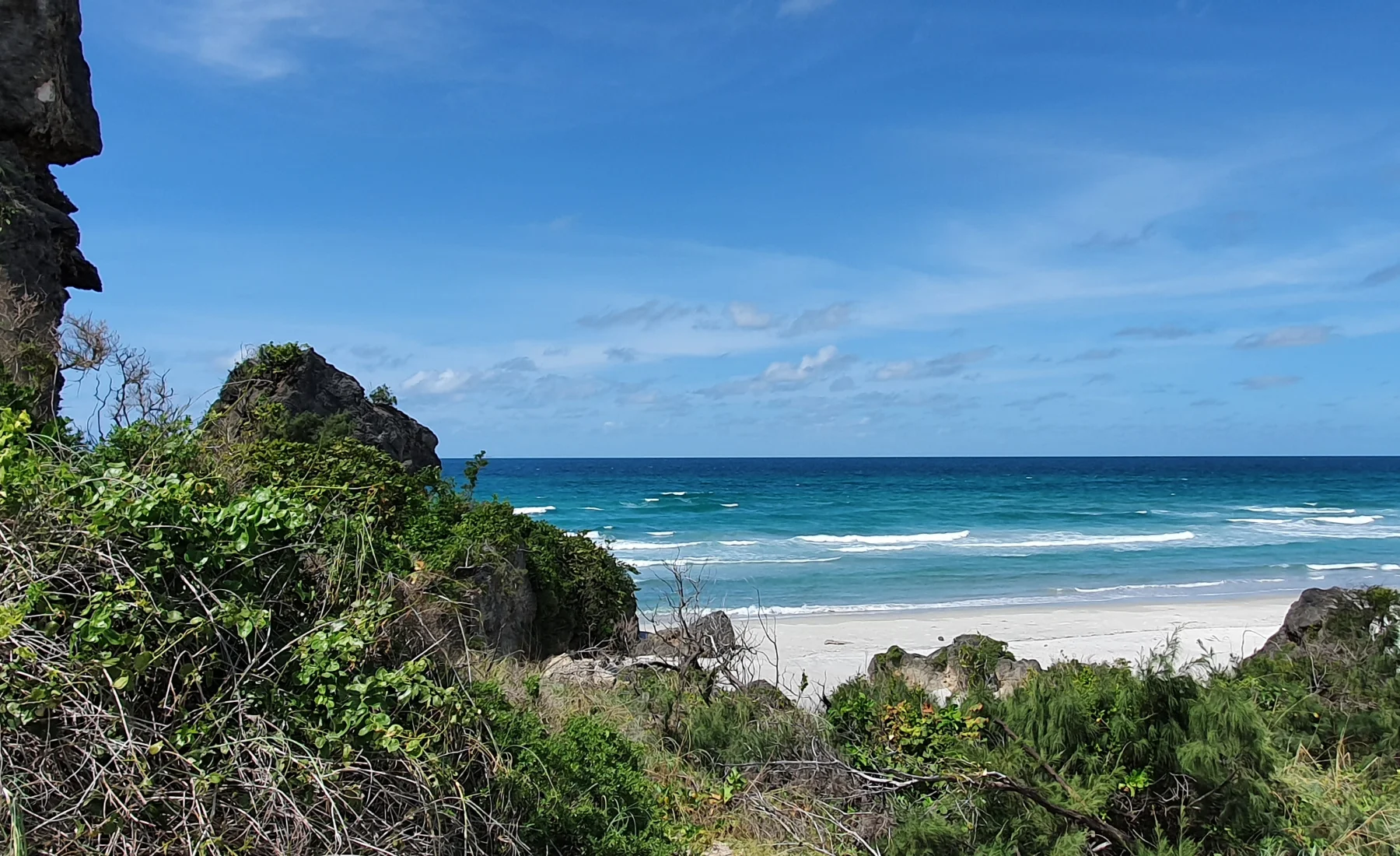
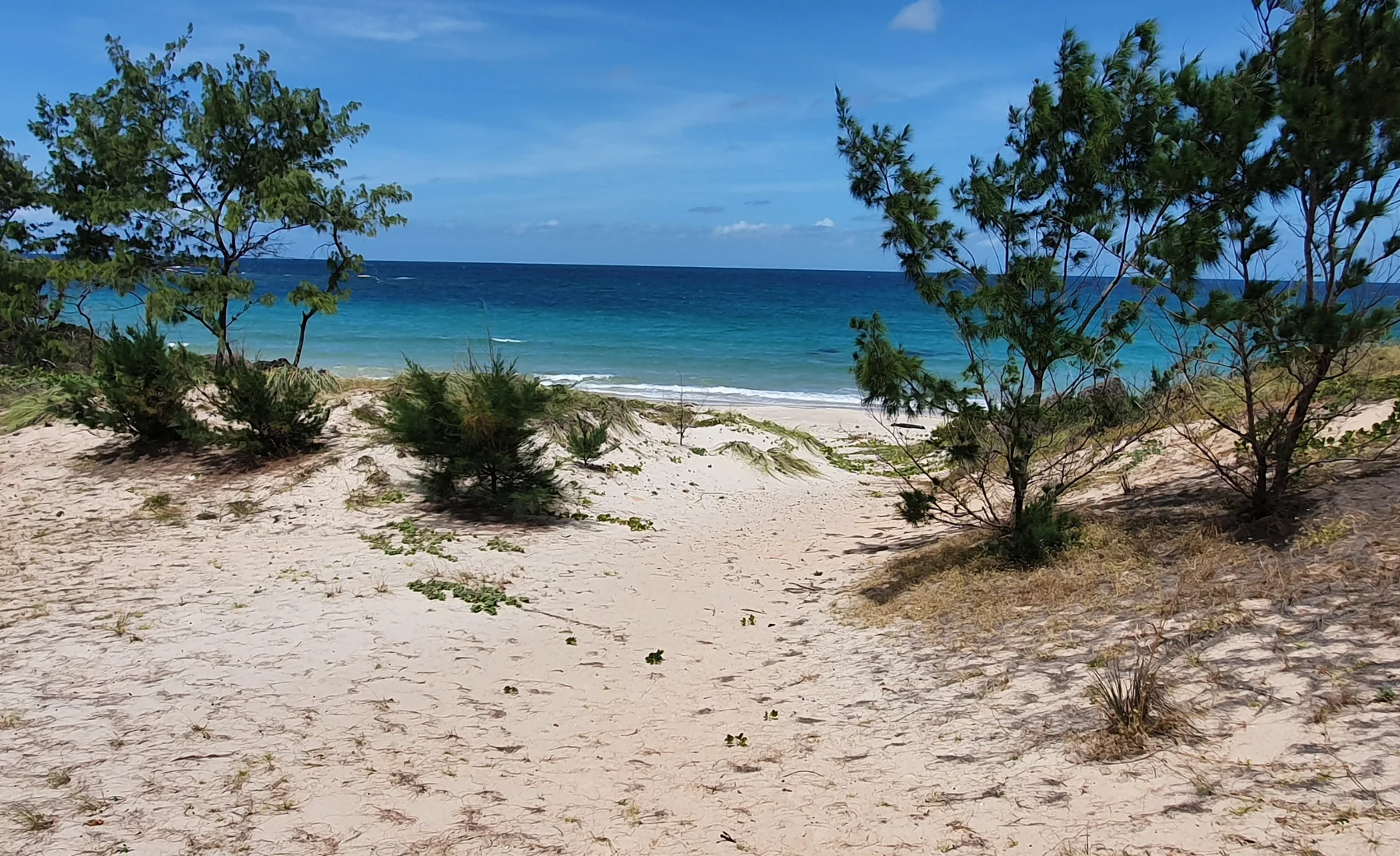
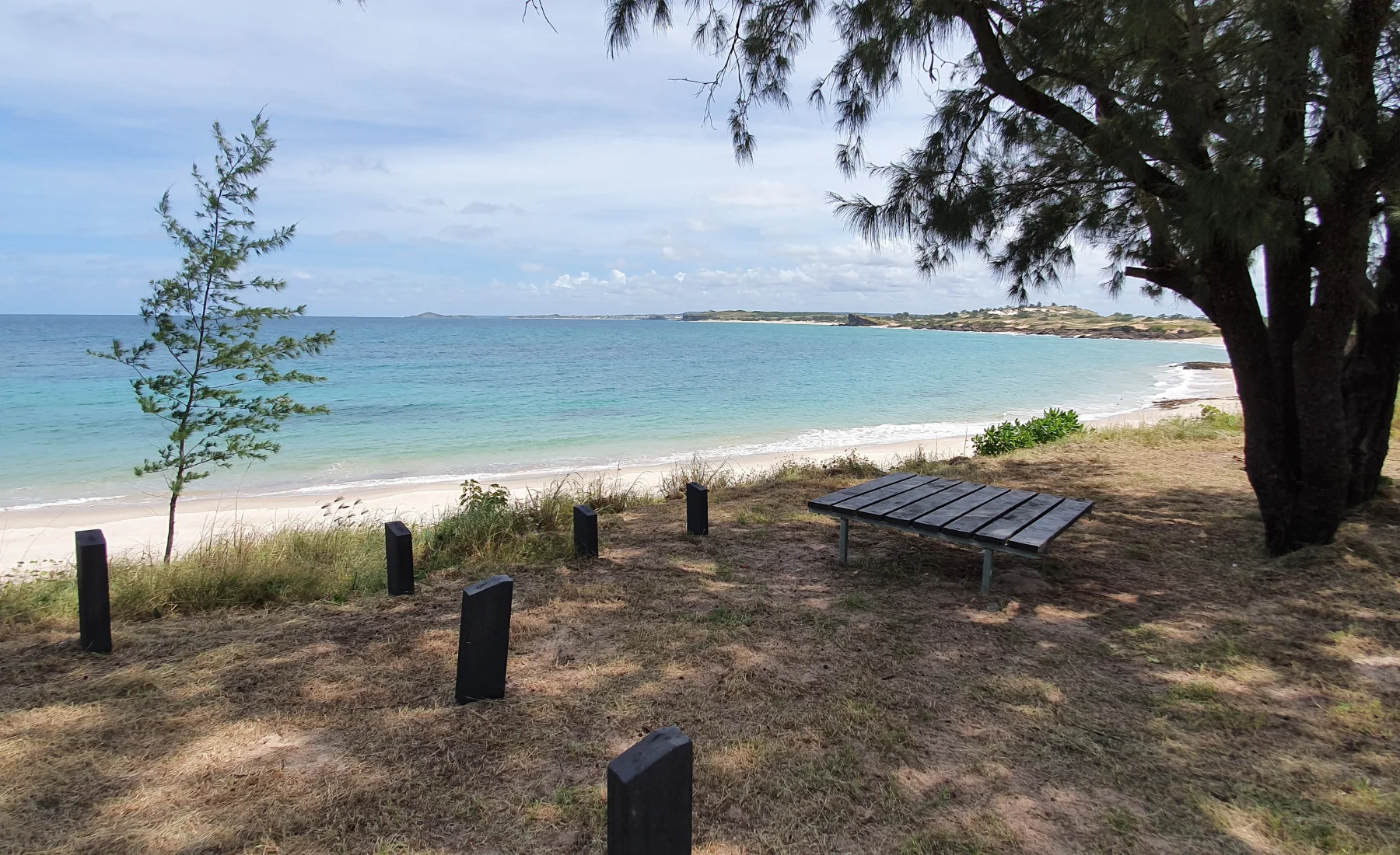
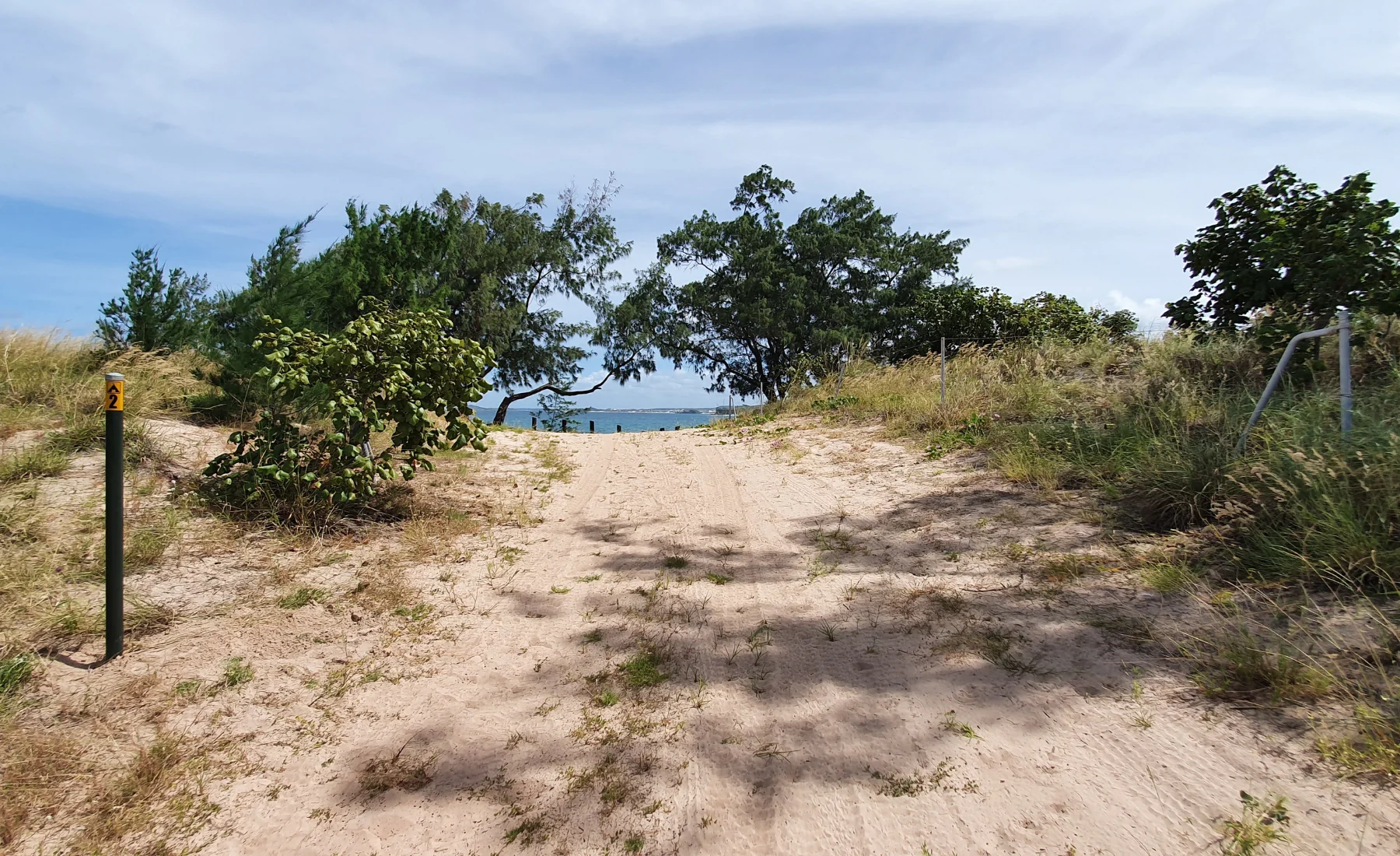
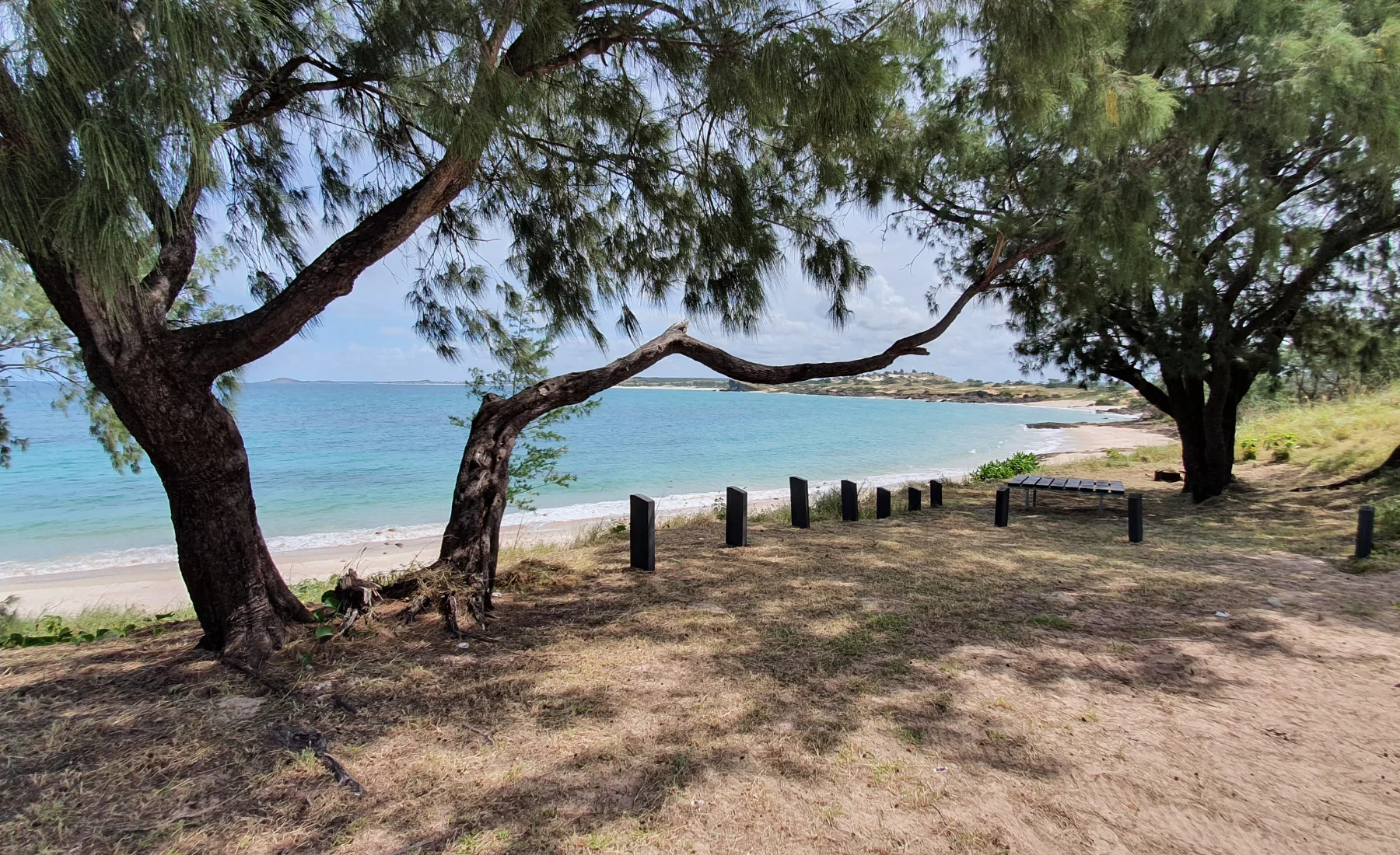
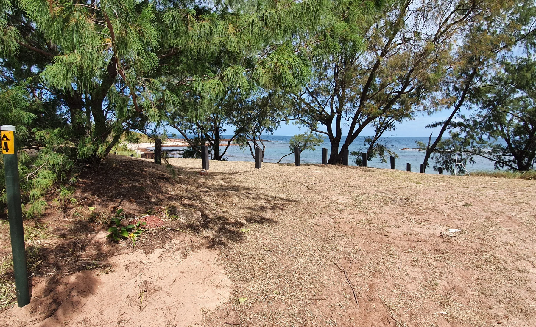
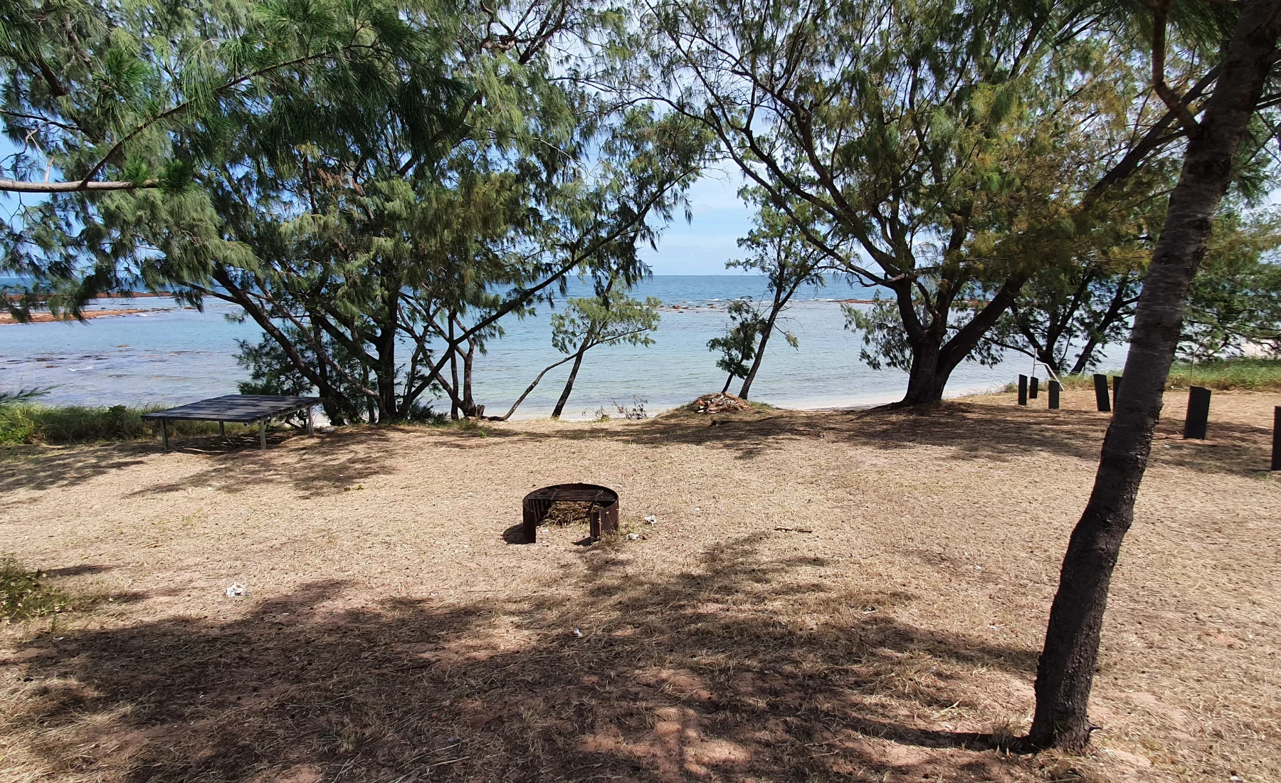
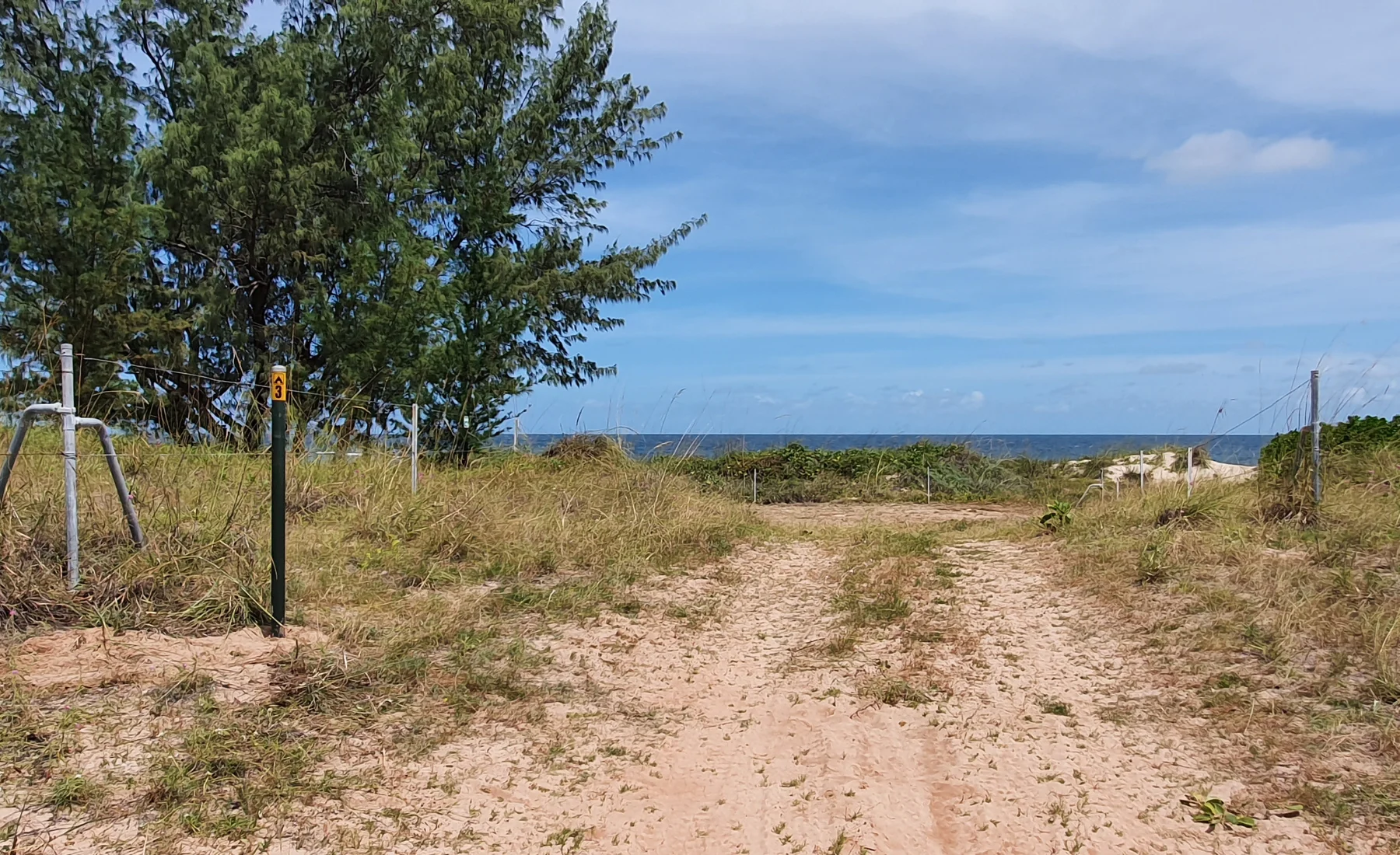
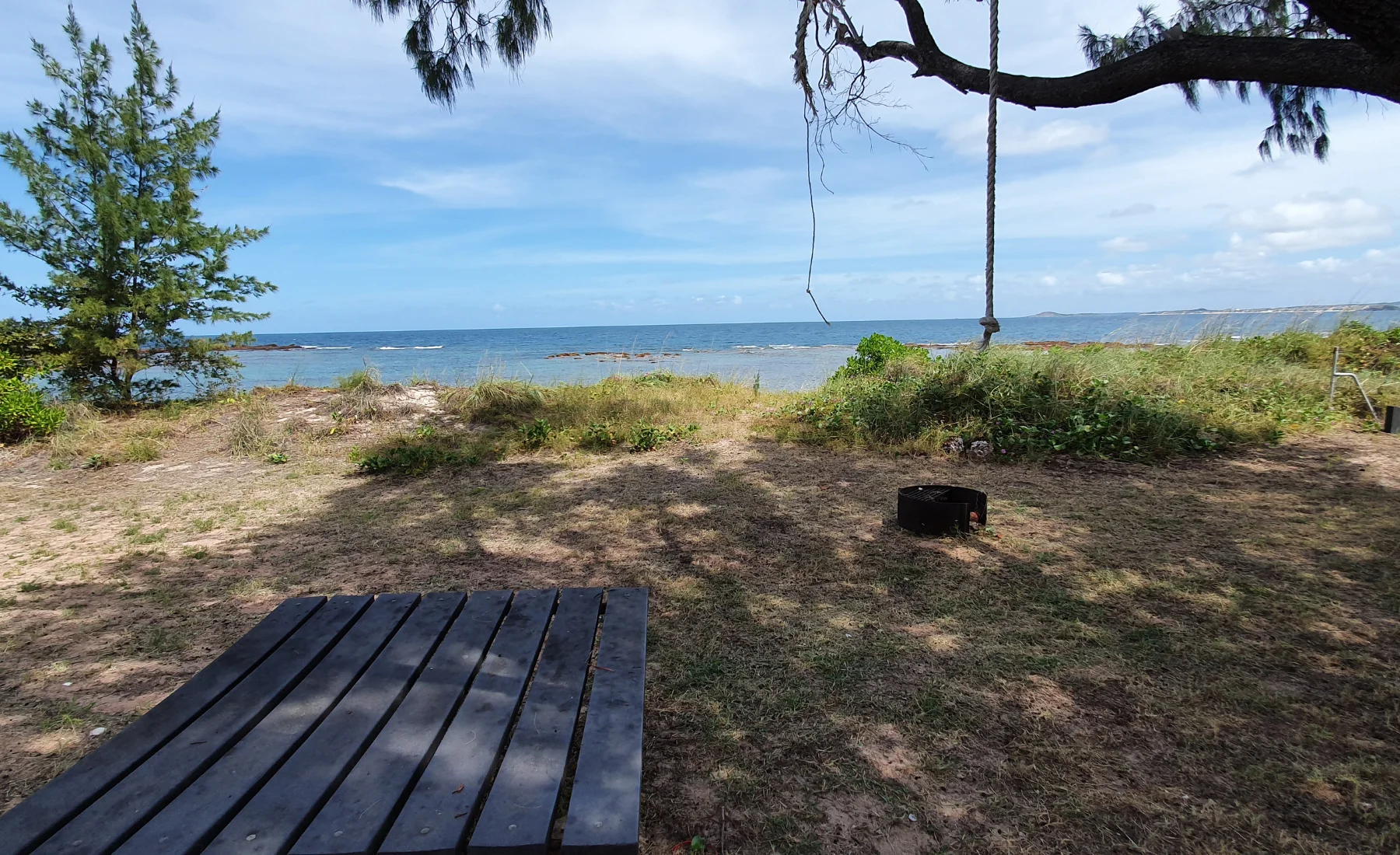
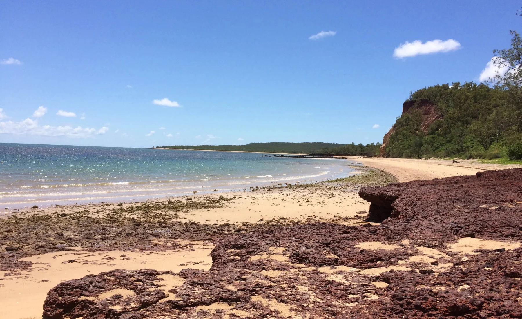
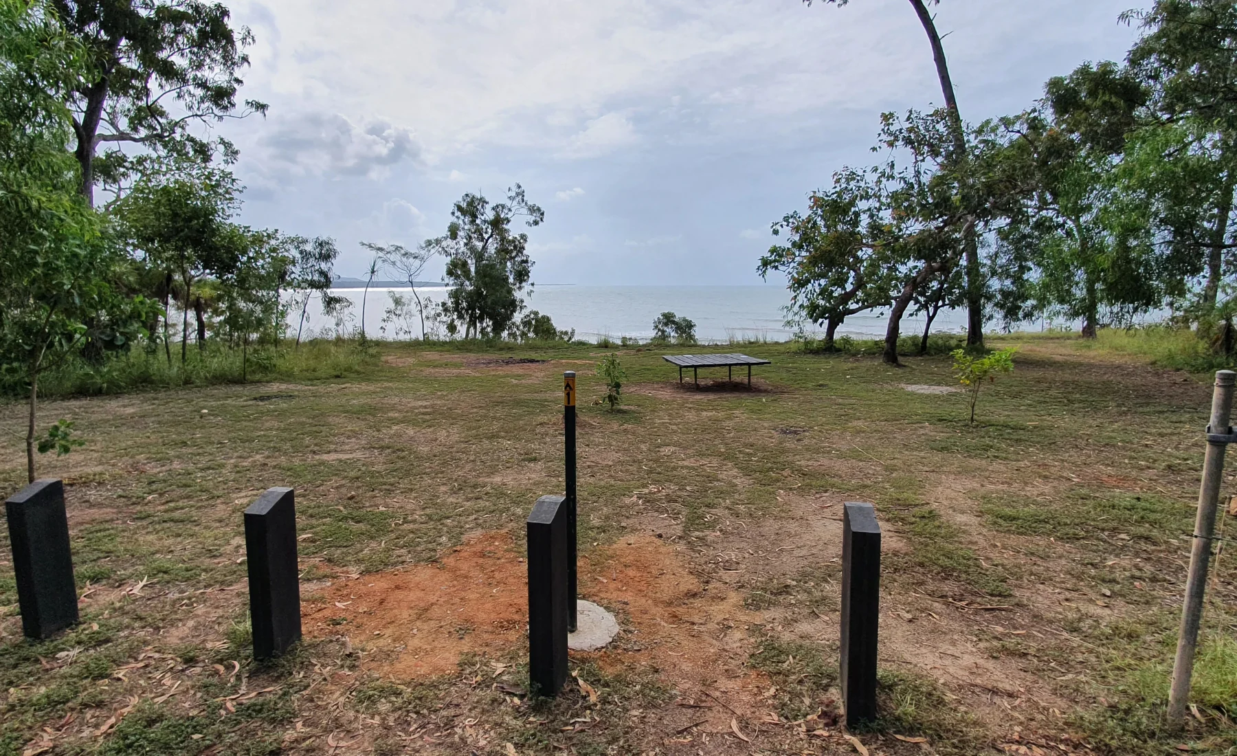
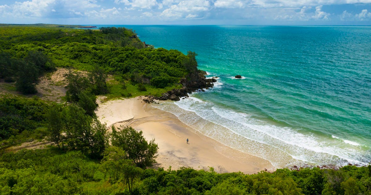
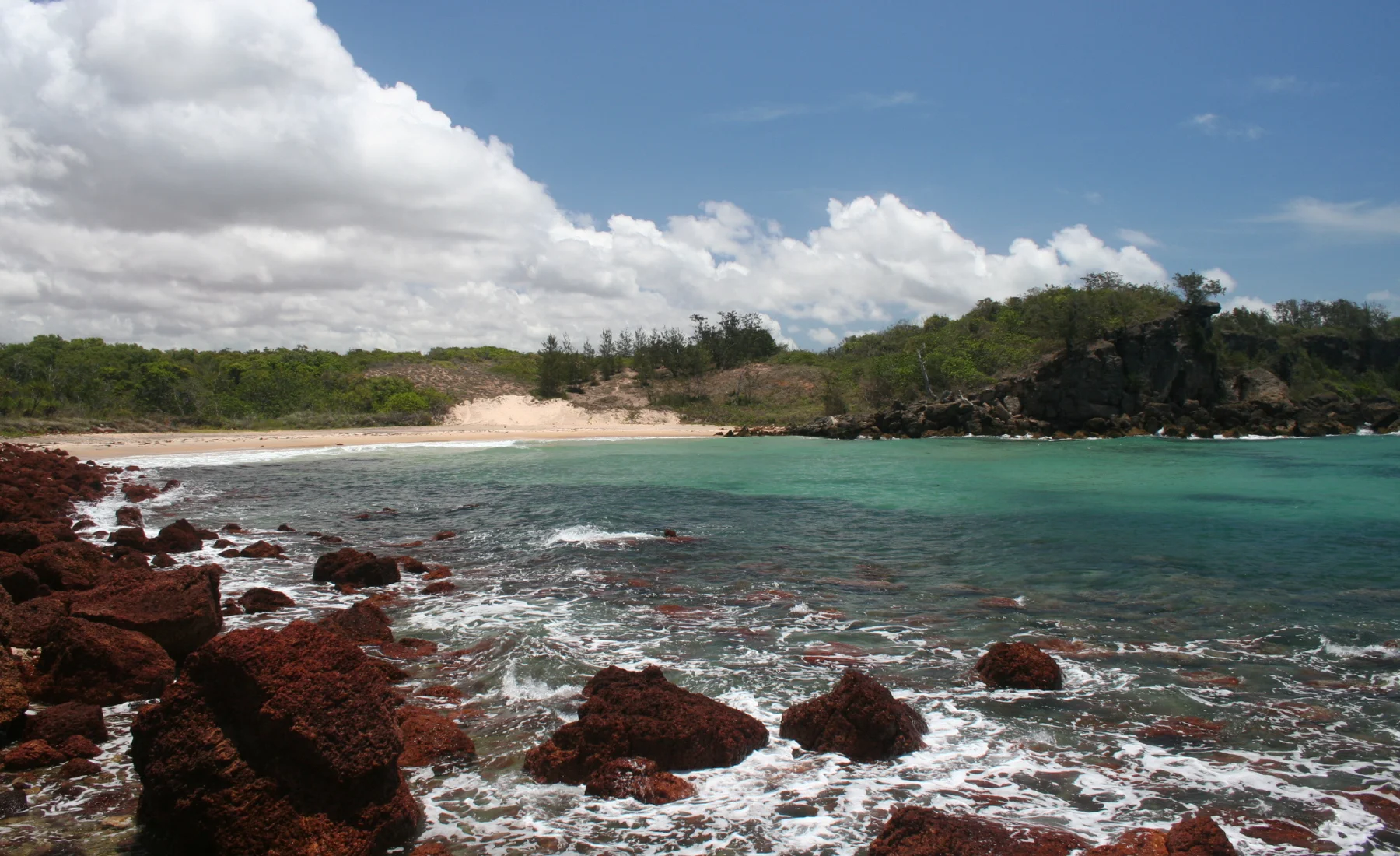
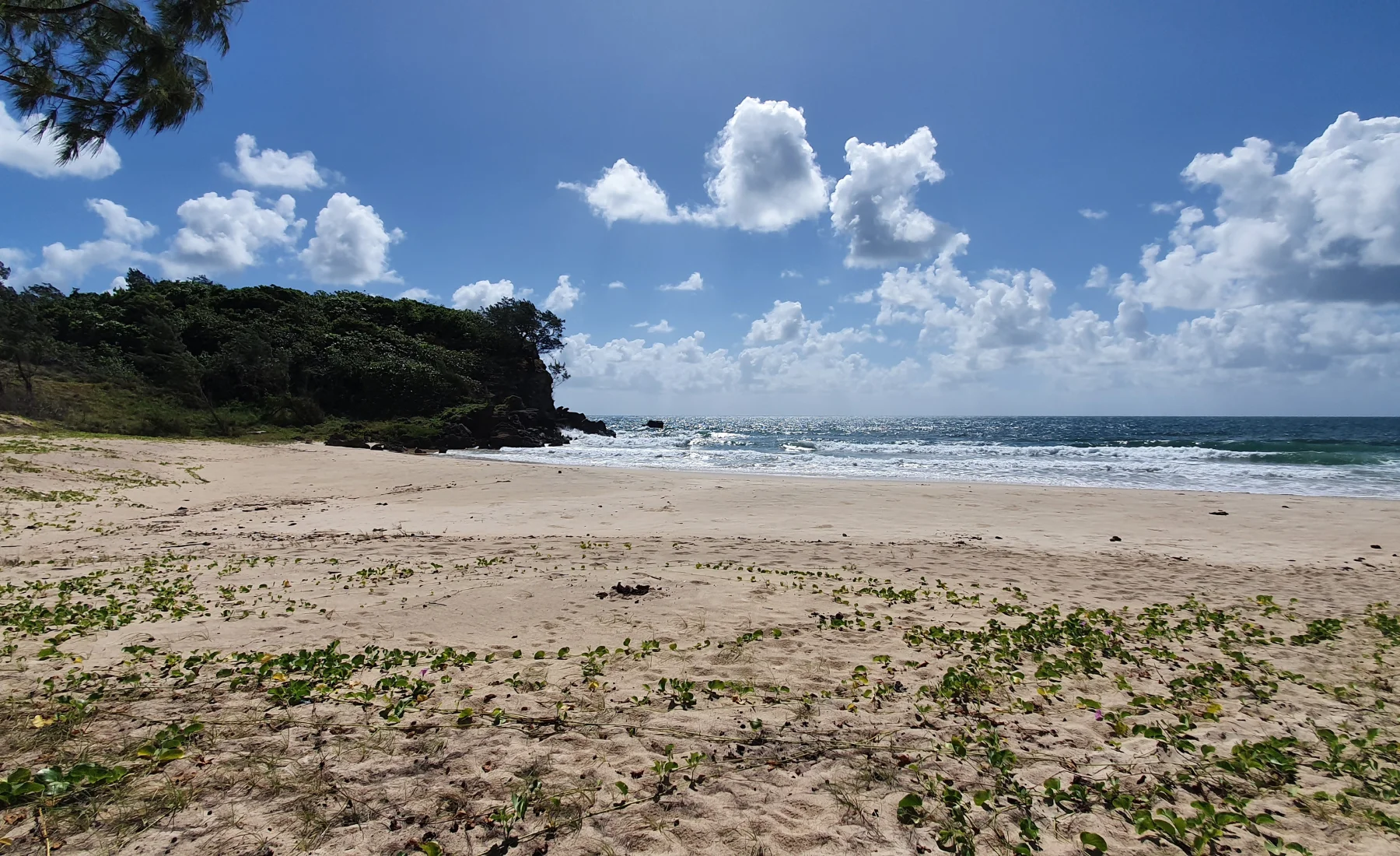
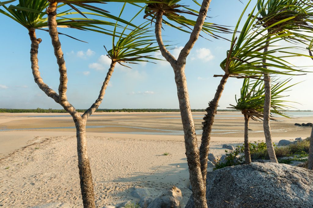
A long, wide beach of white sand contrasts with the rough-textured shelves of laterite that run parallel to the general line of the coast.
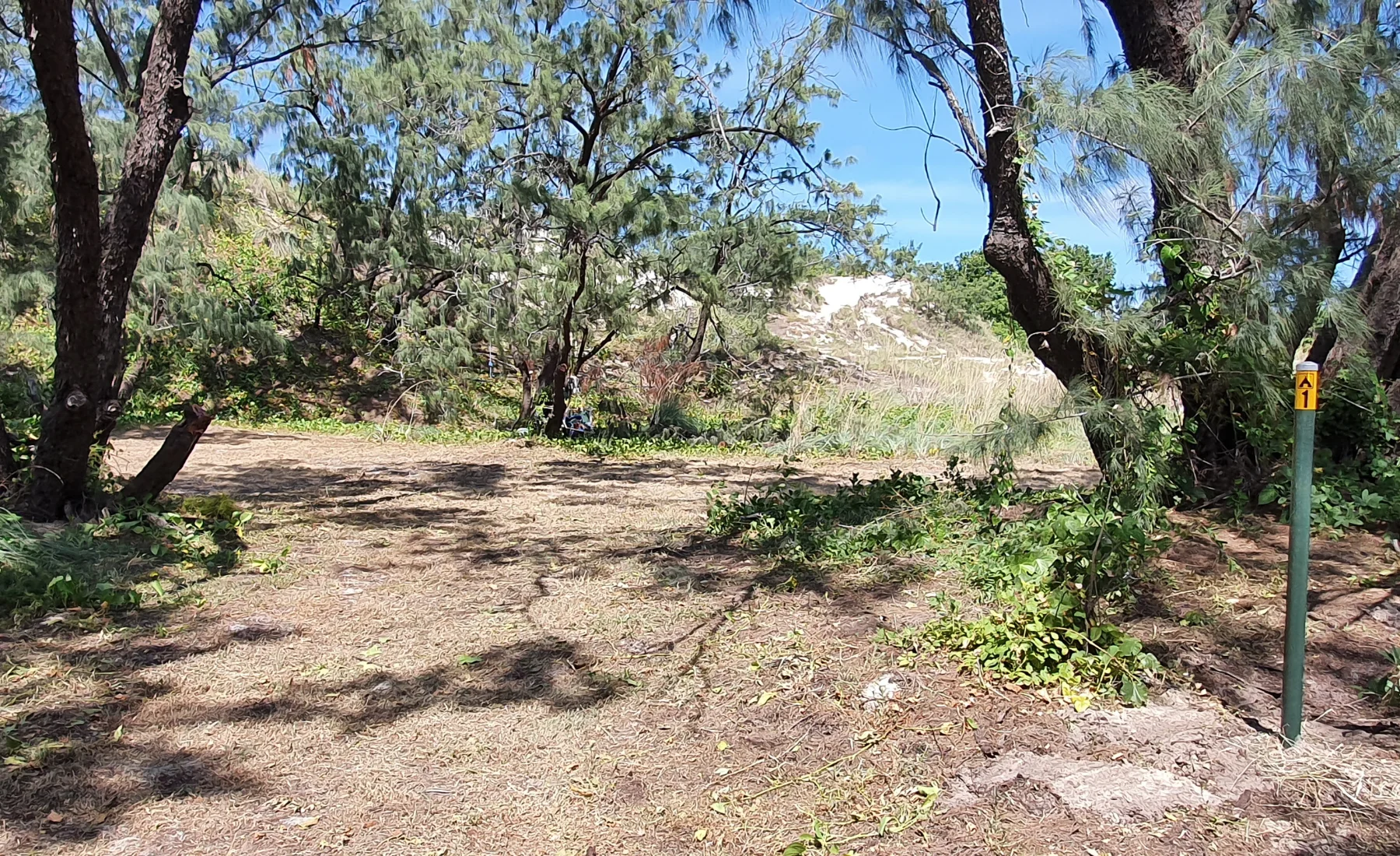
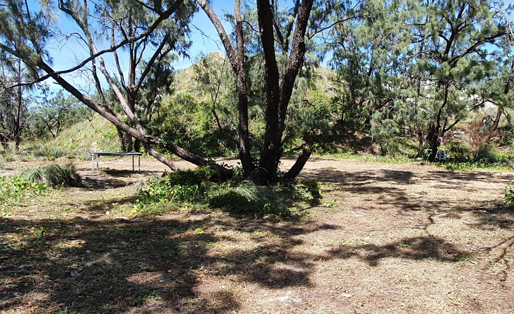
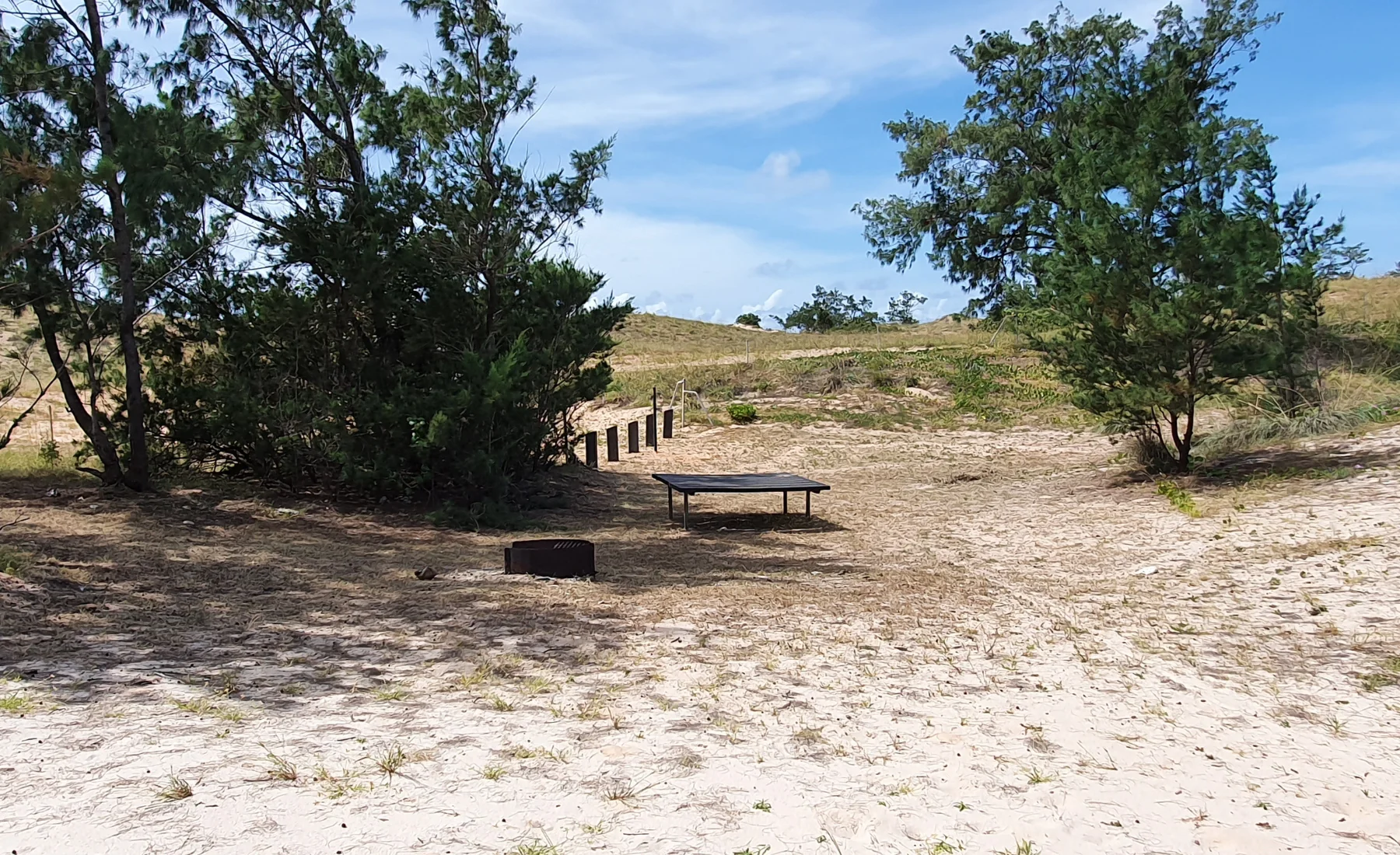
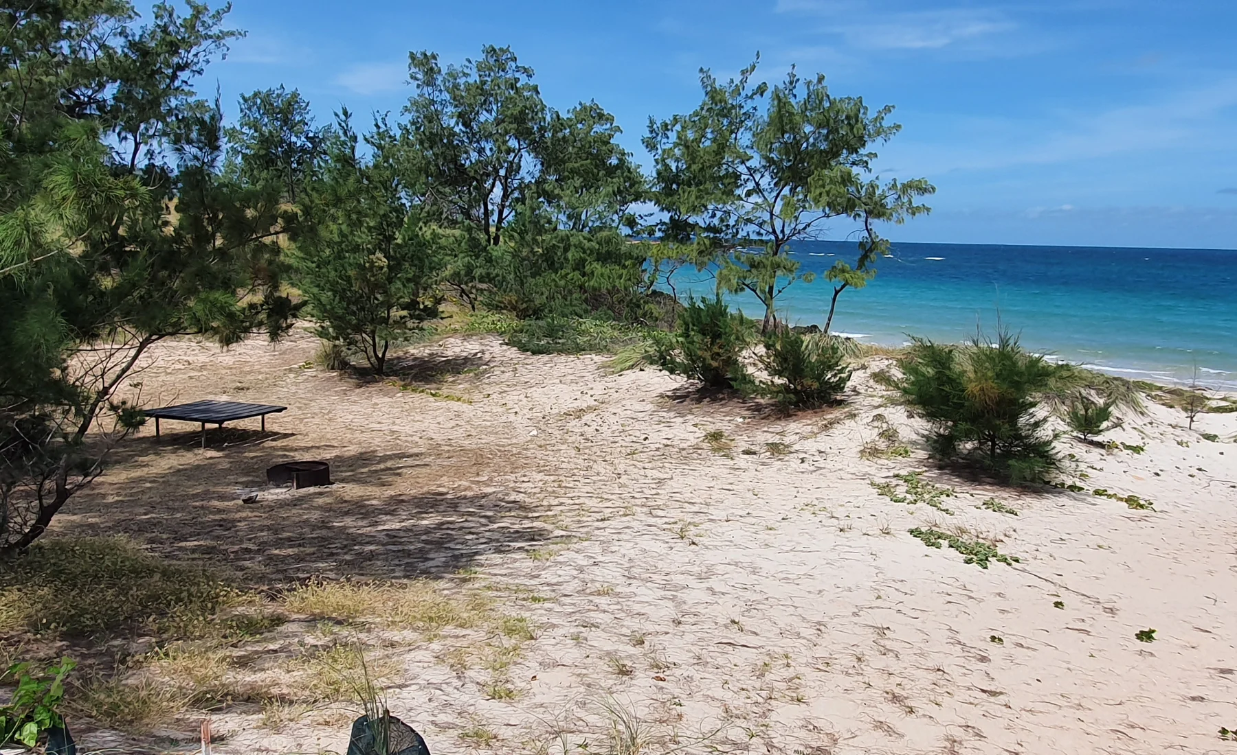
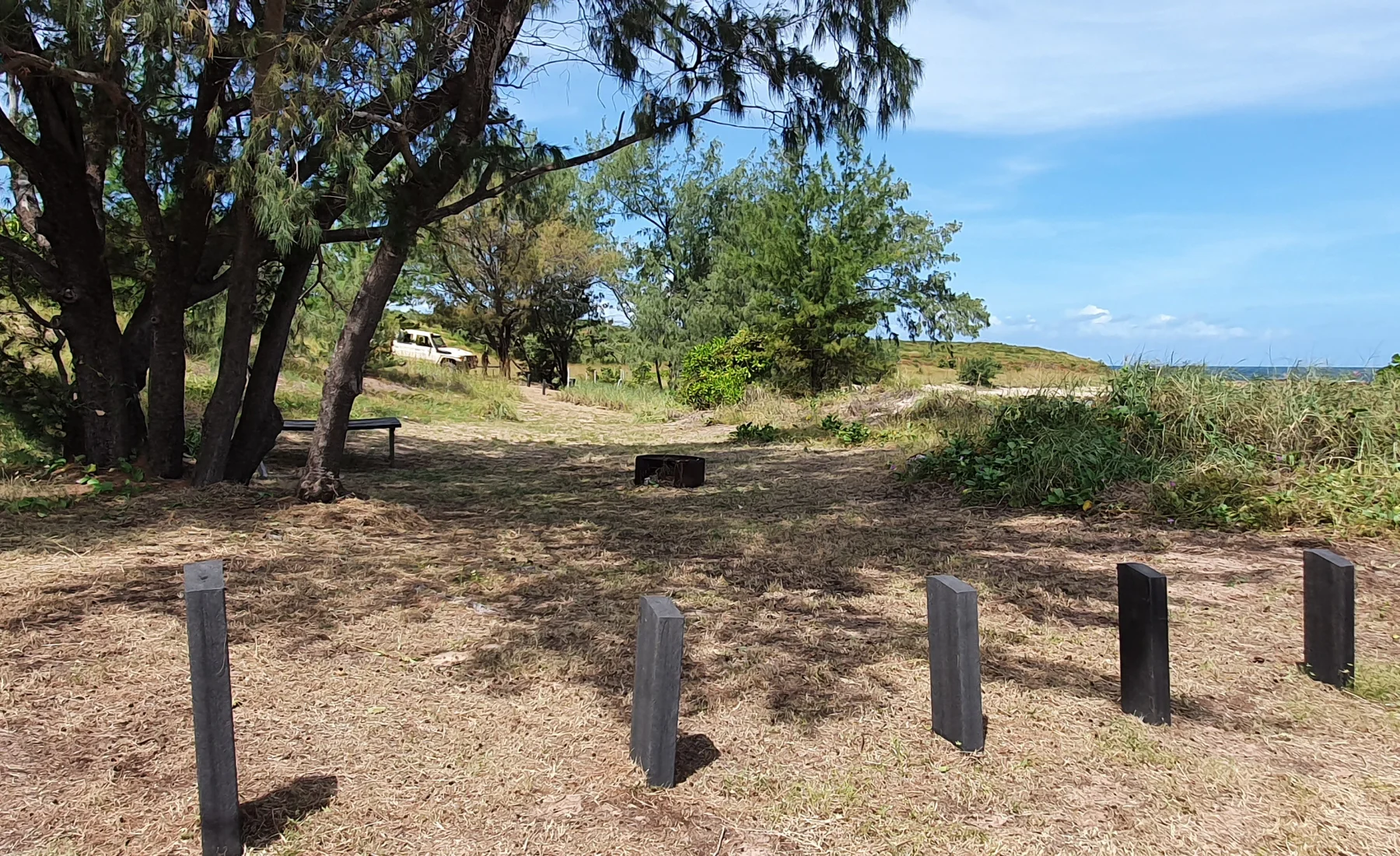
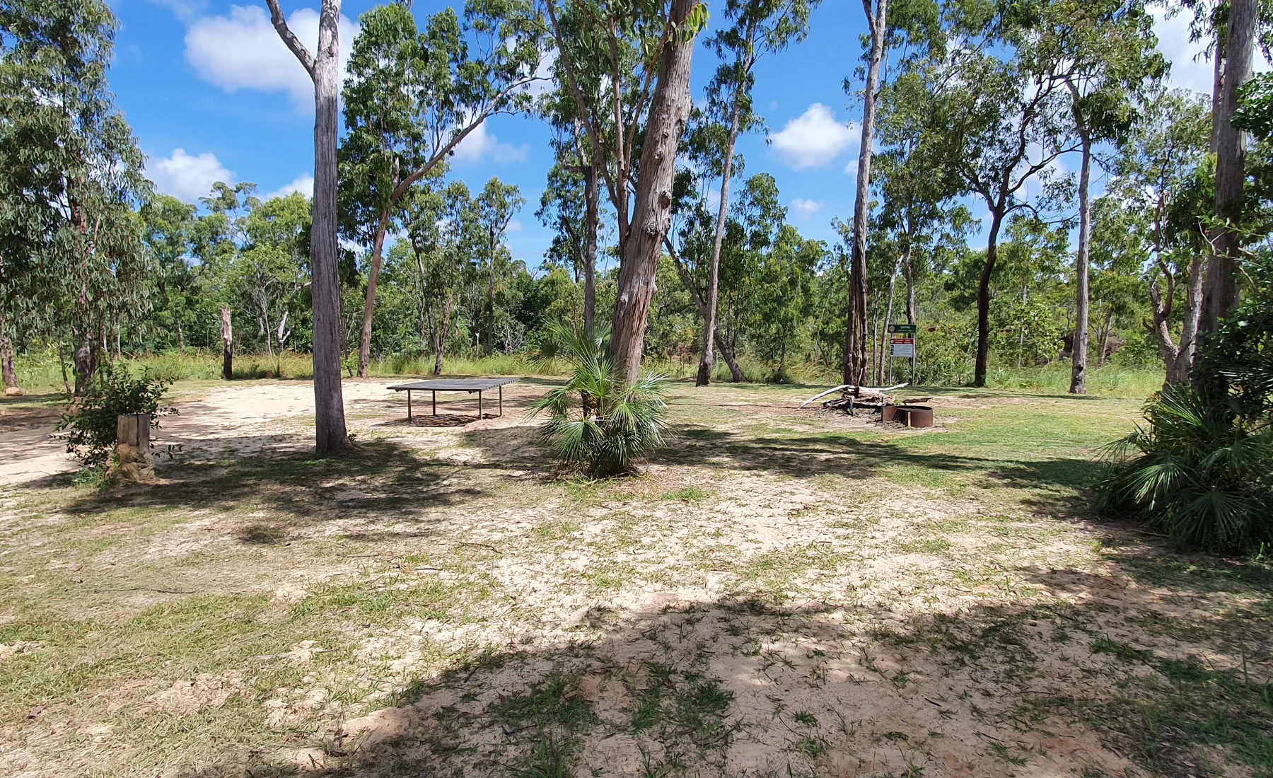
A narrow, dense strip of monsoon coastal vine forest overlies the rockshelf and a short walk behind the sand hills leads to a paperbark swamp. There are good shady picnic and camping spots under the casuarinas behind the rockshelf.
South of the sandy beach behind the rocky shelf is Wurrwurrwuy, where a Yolngu record of the annual visits of the Macassan traders is recorded as stone pictures.
Visitors can walk among the stone pictures and learn a little about the history of Yolngu contact with Macassans over hundreds of years.
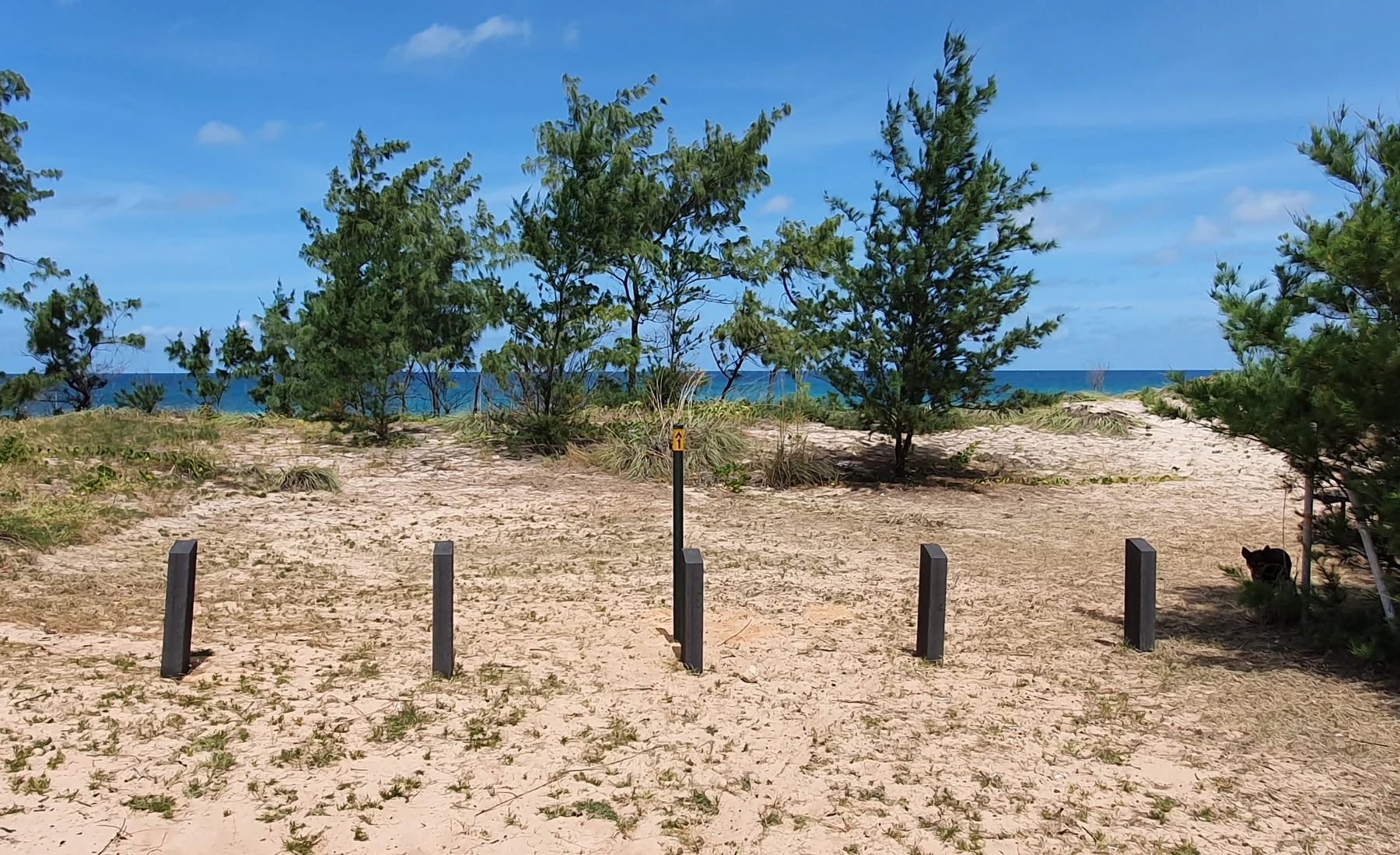
✅ Walking trail
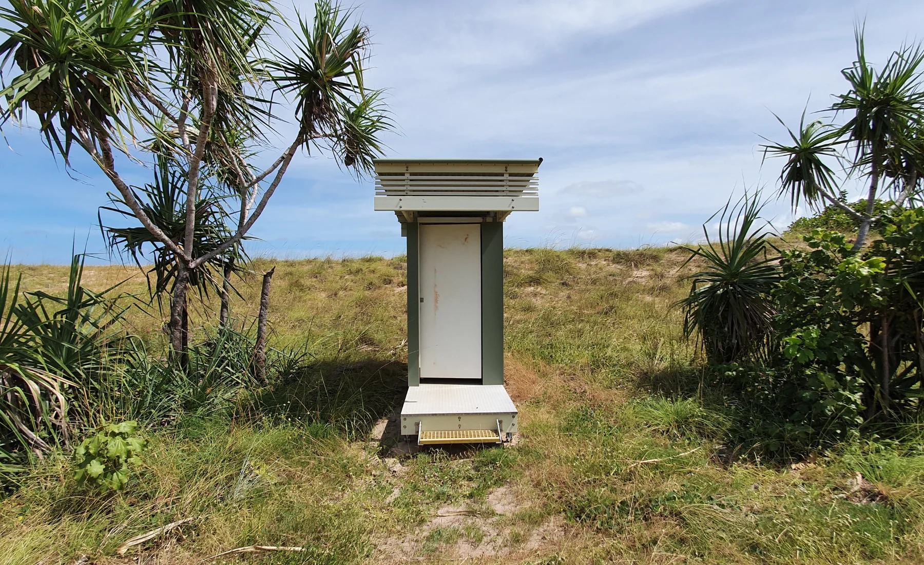
✅ Compostable toilet
❌ Stick to designated walking path
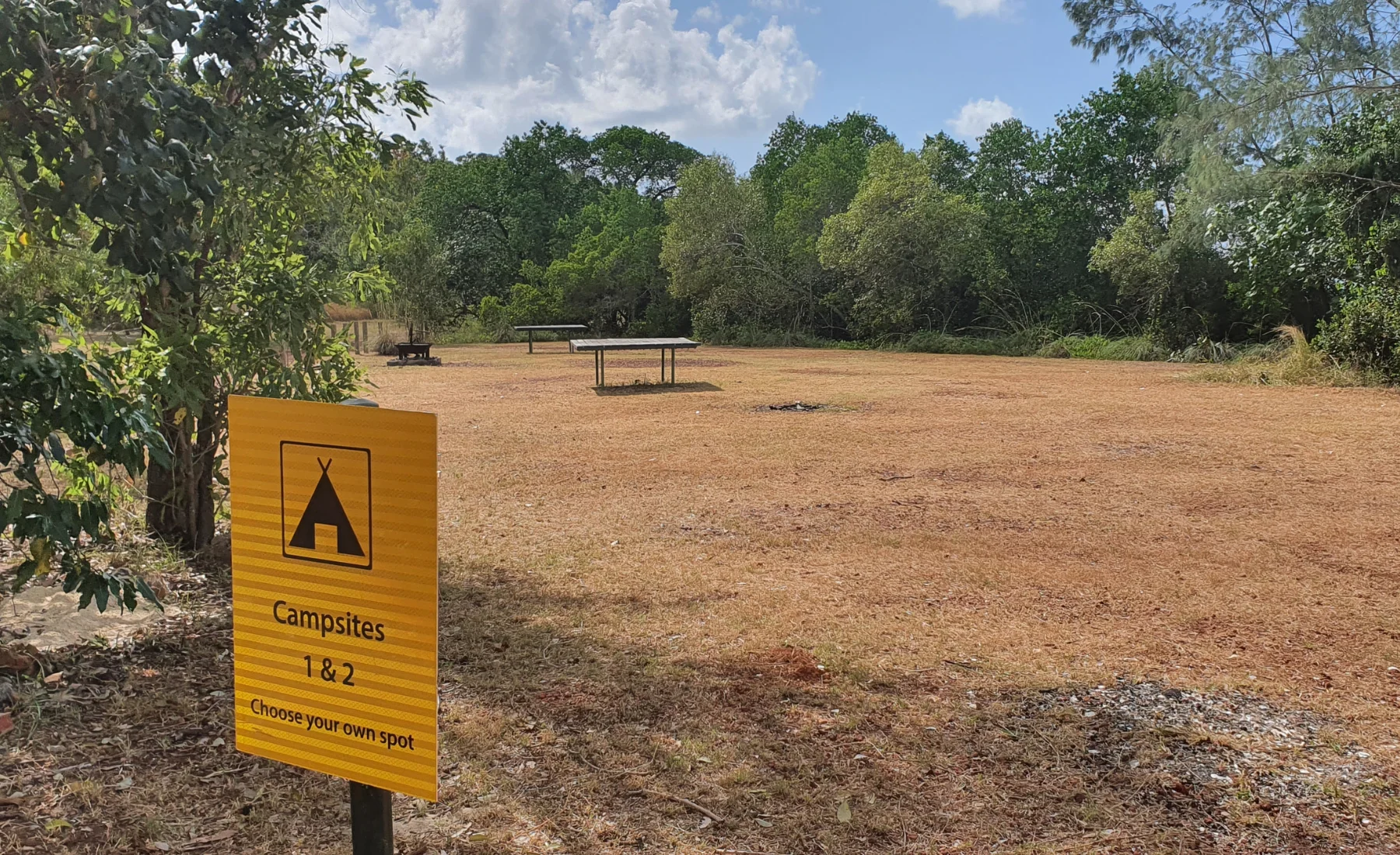
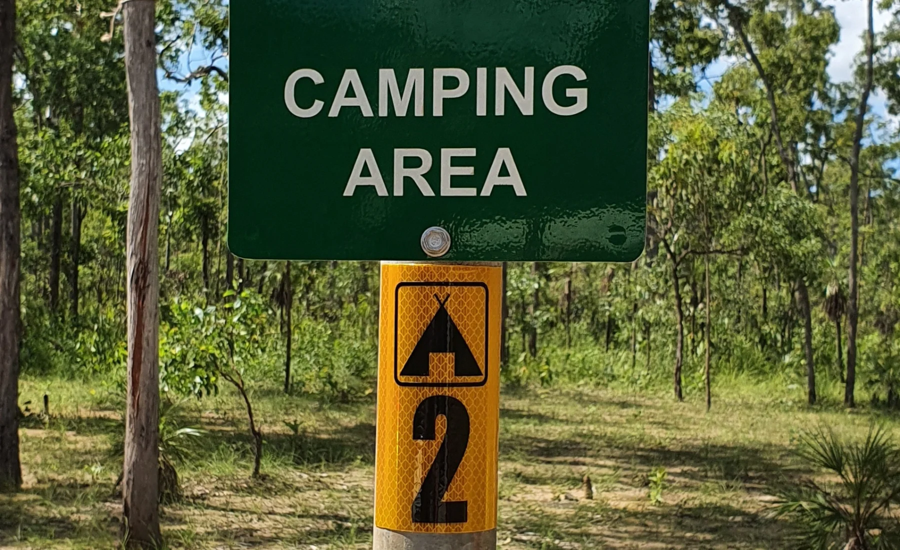
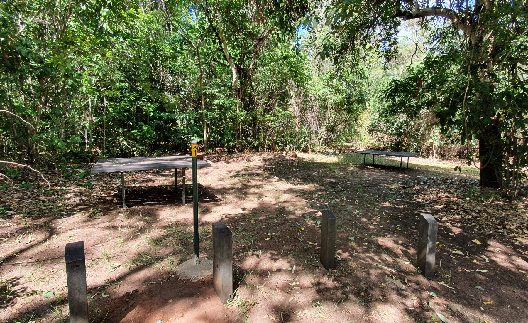
Campsite
Max Occupancy
Max Vehicle
Site 1
15
3
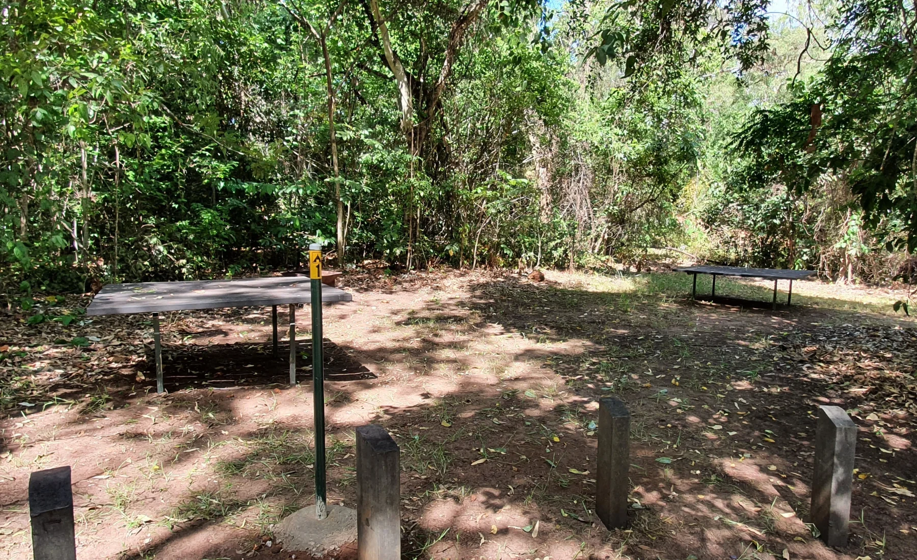
Site 2
15
3
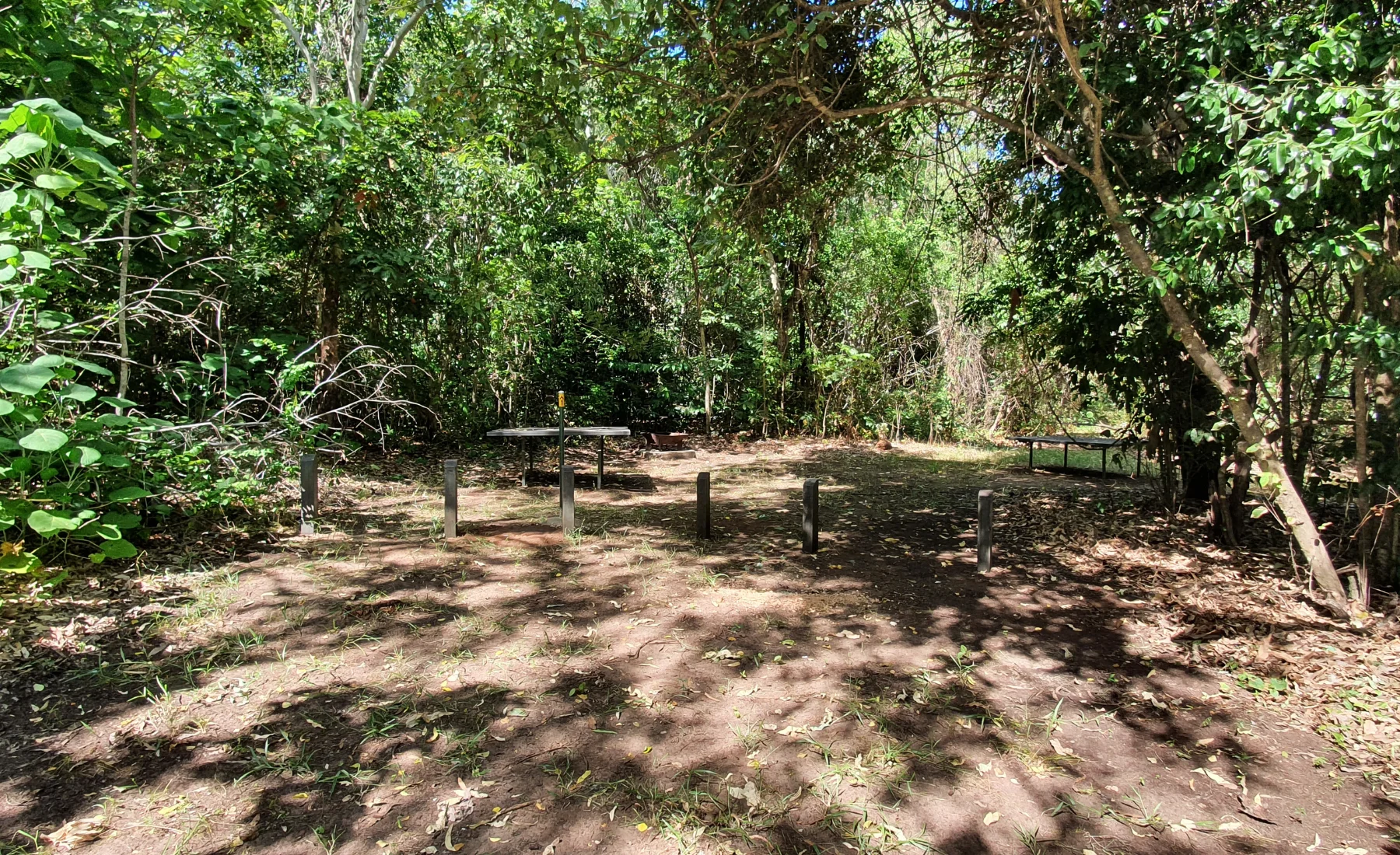
Site 3
10
2
Site 4
10
2
Site 5
2
1
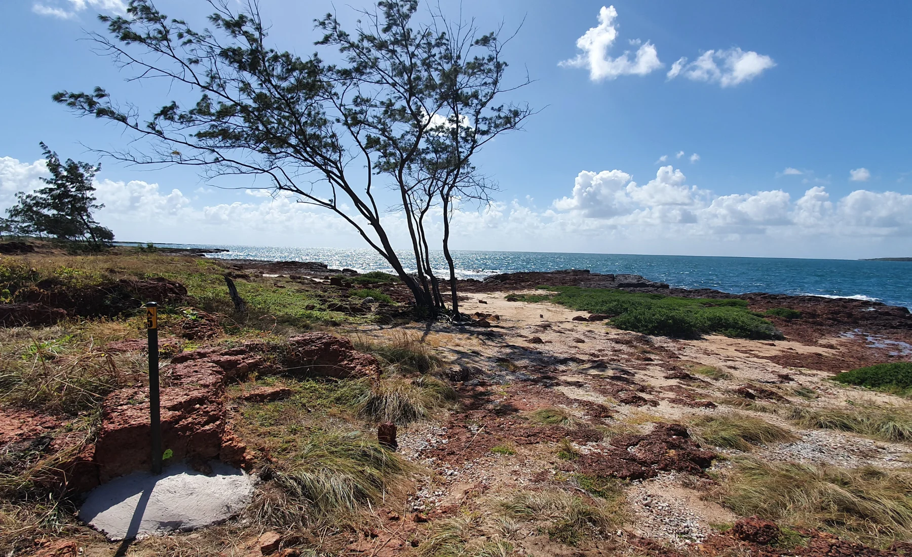
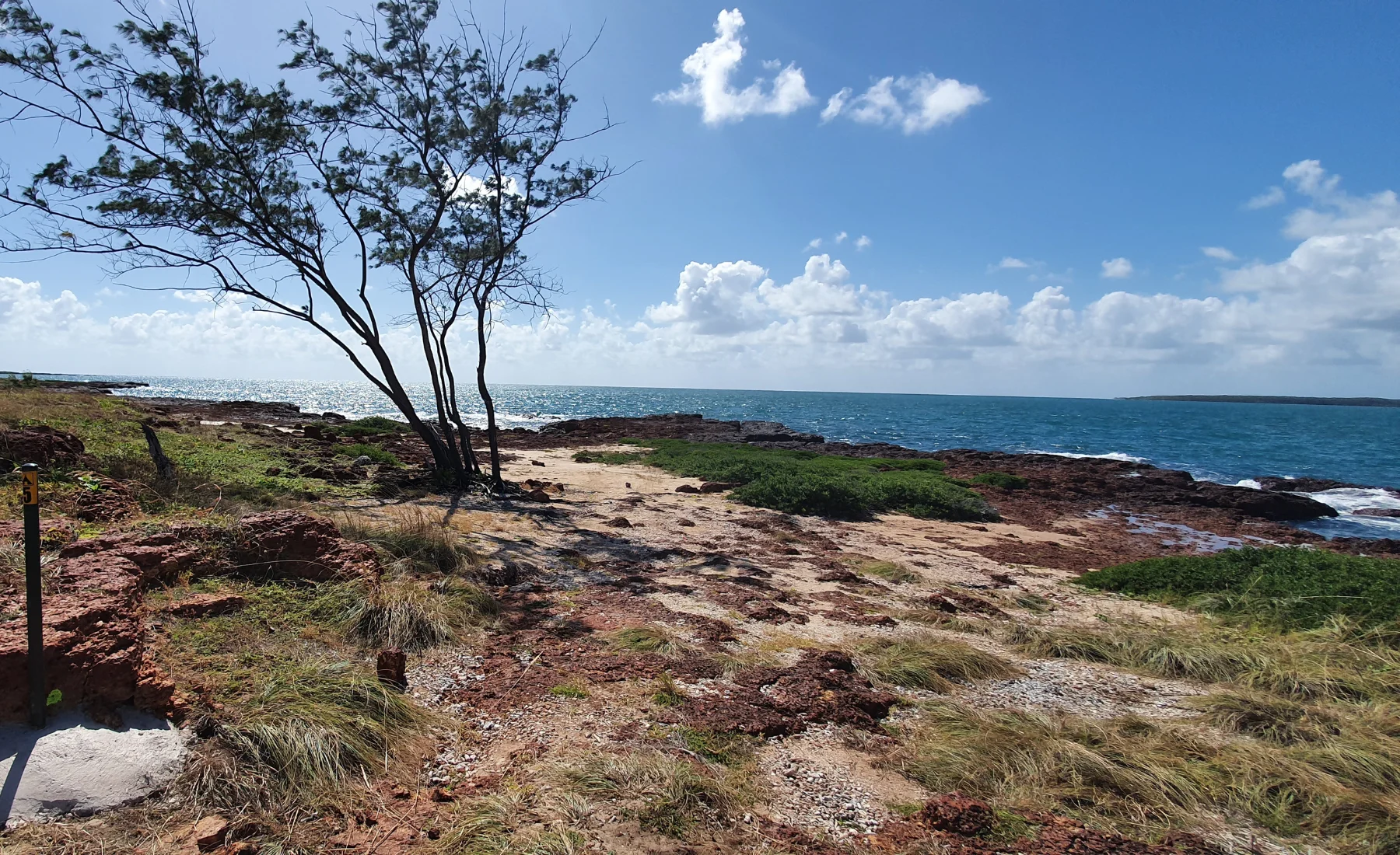
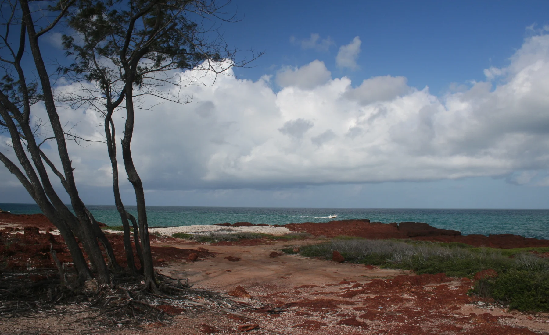
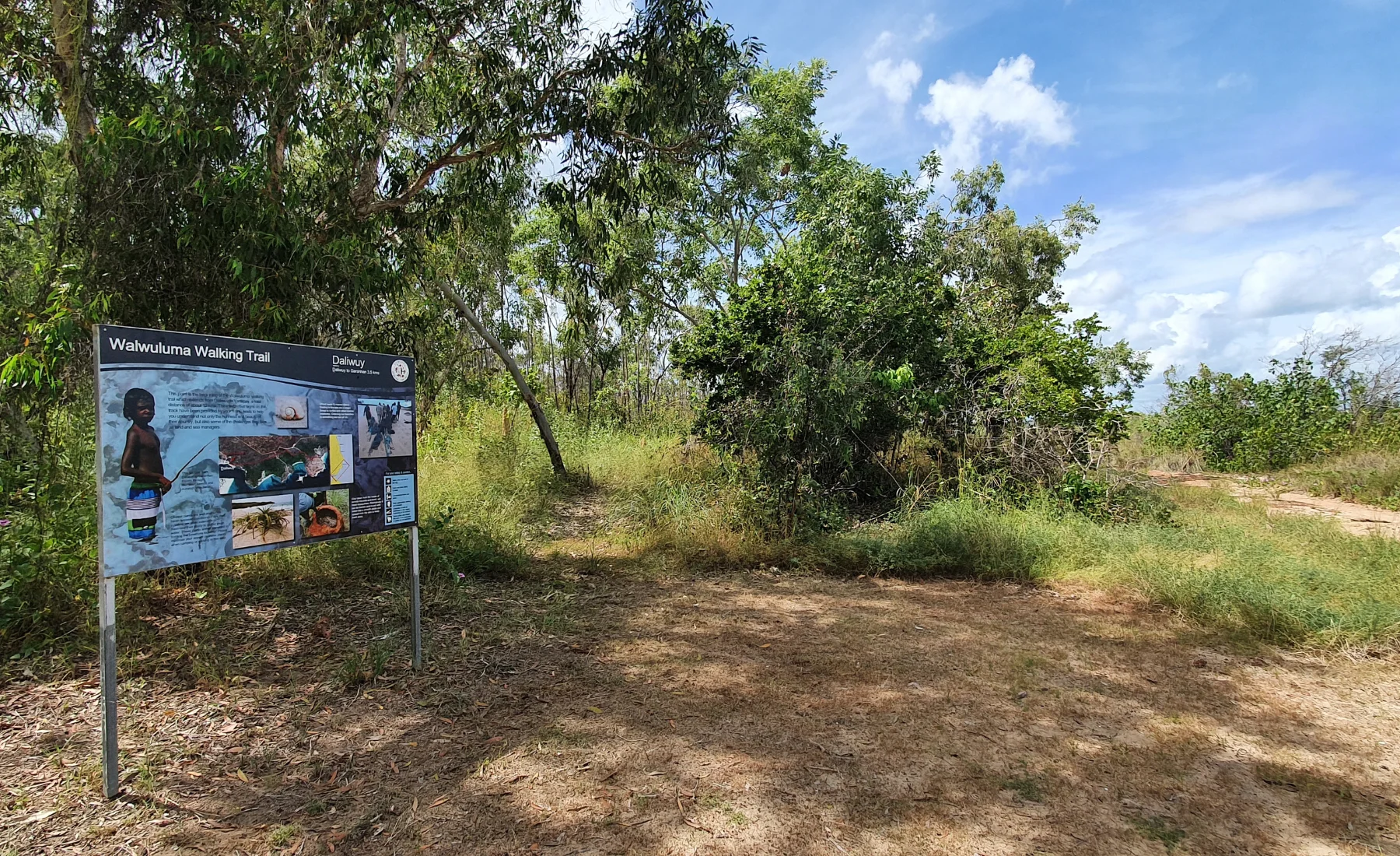
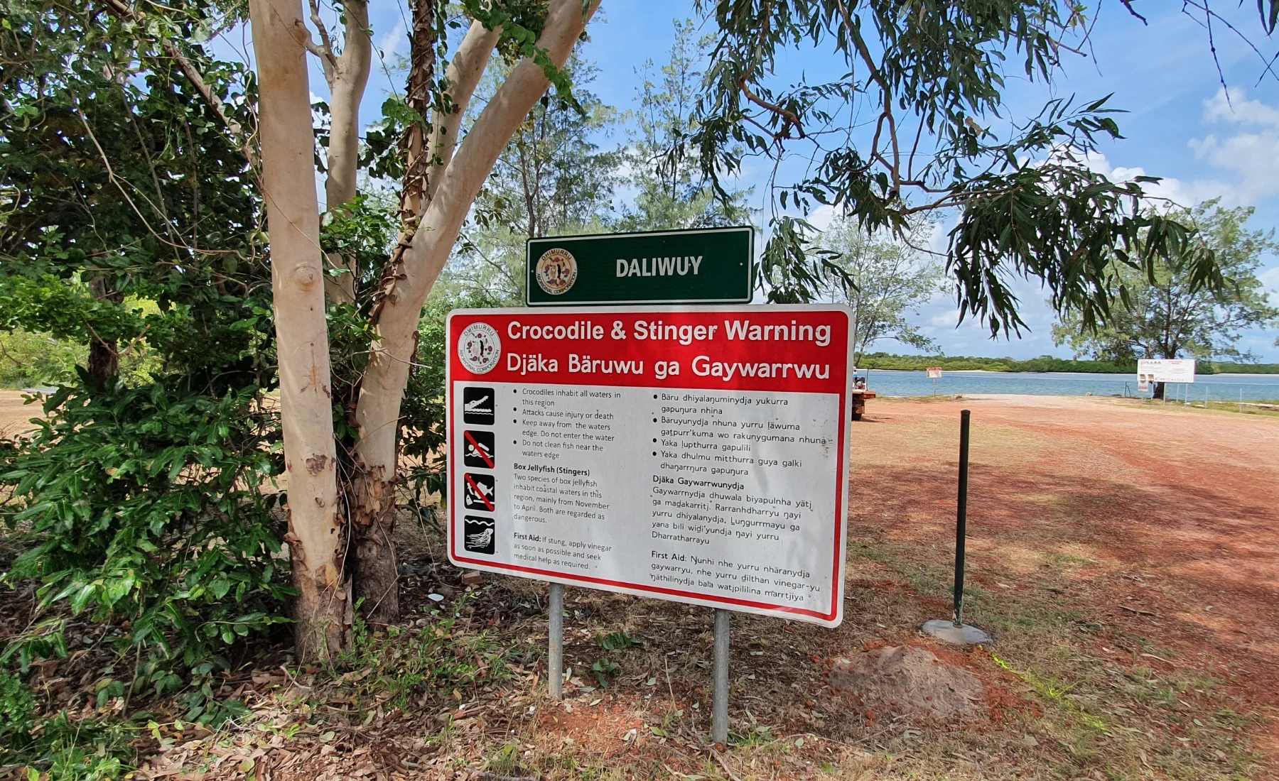
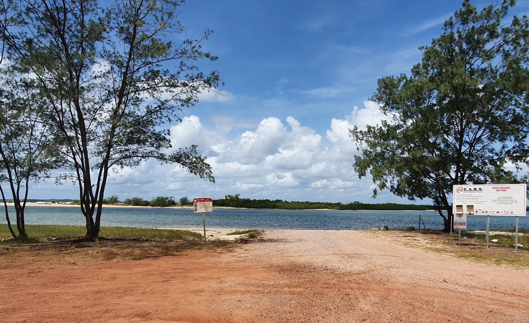
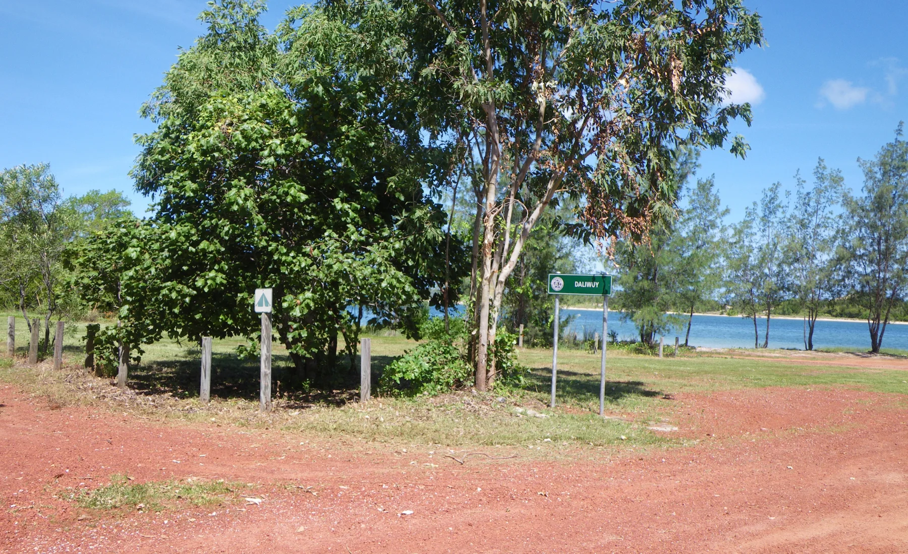
Binydjarrŋa (Daliwuy Bay)
35km from township
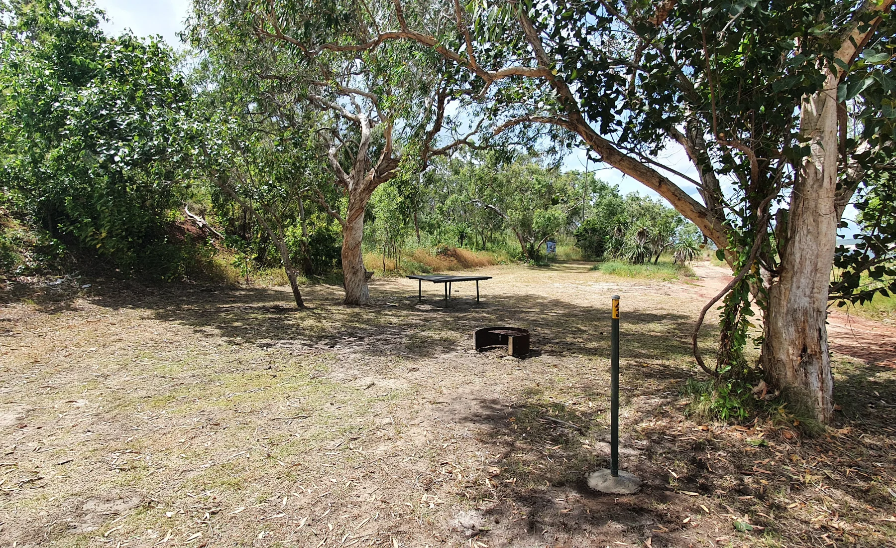
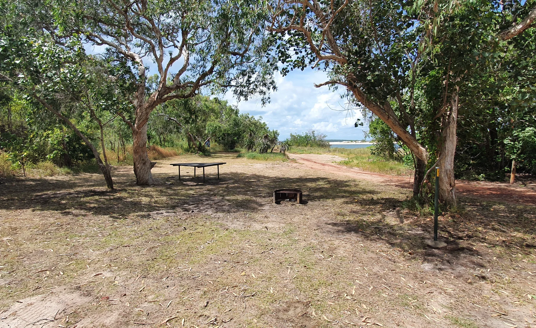
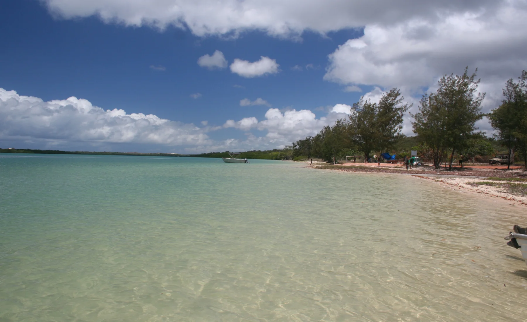
This area can be accessed off the Central Arnhem Highway. Daliwuy is a beautiful mangrove fringed bay and has a boat ramp to enable small to medium sized boat users to access the bay for fishing or travel out to sea. There are also campsites and facilities for day visitors.
On entering the area you will see a thin belt of coastal monsoon rainforest growing on low sandy ridges running parallel to the shoreline and merging with the nearby open eucalypt forest. Mangrove estuaries, mudflats, paperbark trees (Melaleuca) and other features of the inter-tidal zone can be found as you explore the shoreline. The mangroves form a dense forest that extend over a large area of tidal mudflats and sand flats. You may even see a crocodile resting in the mangroves, so be watchful and aware as you enjoy your time here.
✅ Boat Ramp Access (Make sure boat rego is listed on permit)
✅ Walking Trail and Toilet access
❌ High Risk Baru (Croc) Area.
❌ Beach Access to the right of the entrance is Yolngu ONLY
❌ Sacred tree on the Yolngu only side of Daliwuy (Read signs carefully)
Campsite
Max Occupancy
Max Vehicle
Site 1
6
1
Site 2
6
1
Site 3
10
2
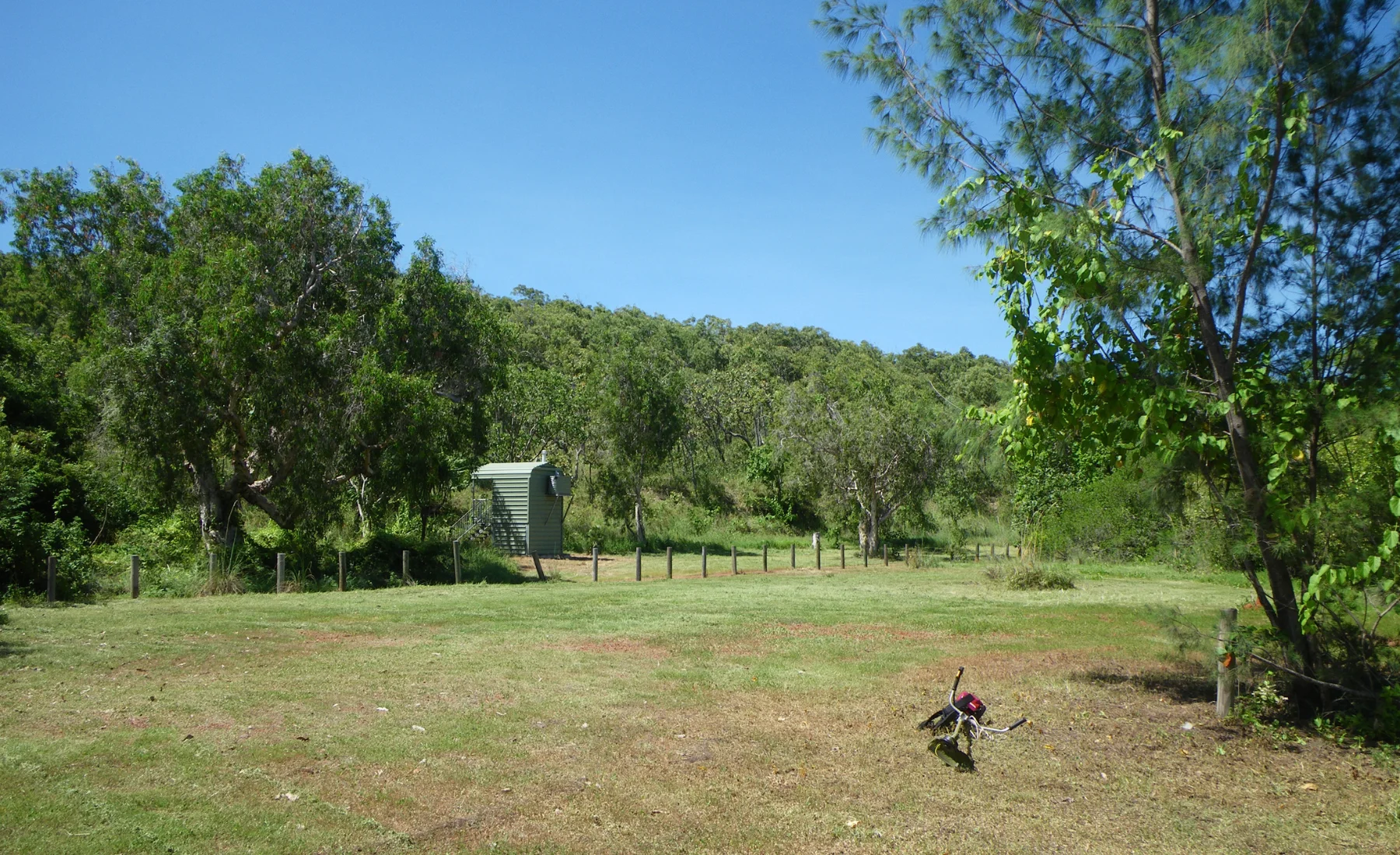
Wathawuy (Latram River And Goanna Lagoon)
25km from township
A stream that winds its way through open Eucalyptus forest. There are two recreation areas at Wathawuy; Latram River and Goanna Lagoon. Both are popular destinations from Nhulunbuy as they are close to town and both feature shady campsites.
Access is by a single track leading off to the right as you head out of town. There are signs identifying the recreation areas.
The Latram River is a sandy shallow stream popular with families. Goanna Lagoon has an area of shallow water passing through a striking rock gully that picks up pace before flowing into a deep, clear lagoon.
✅ Highly recommended for families
✅ Day use with a Visitors Access Permit
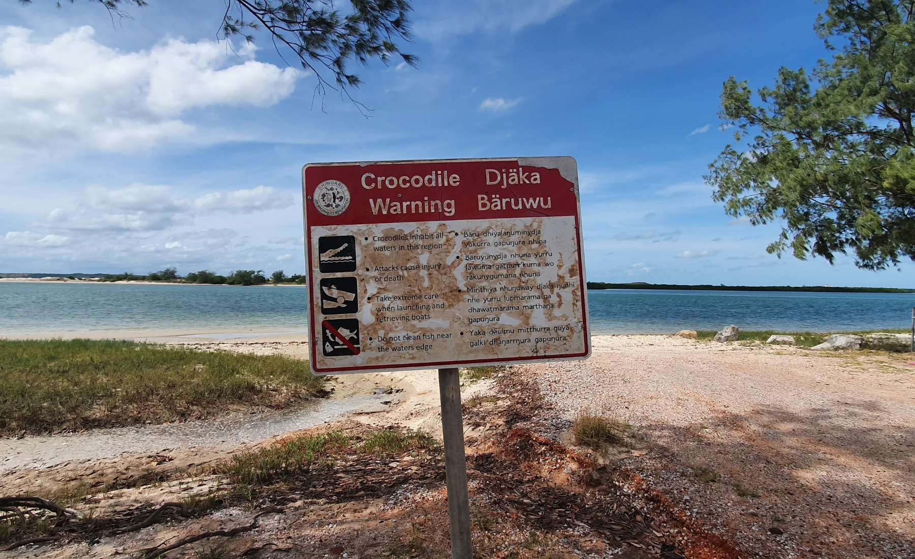
❌ Be aware, Baru (Crocs) inhabit all waterways
Latram River Campsite
Max Occupancy
Max Vehicle
Site 1
15
3
Site 2
15
3
Site 3
15
3
Site 4
15
3
Site 5
6
1
Site 6
6
1
Goanna Lagoon Campsite
Max Occupancy
Max Vehicle
Site 1
15
3
Site 2
15
3
Site 3
15
3
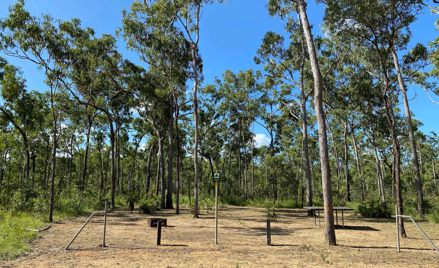
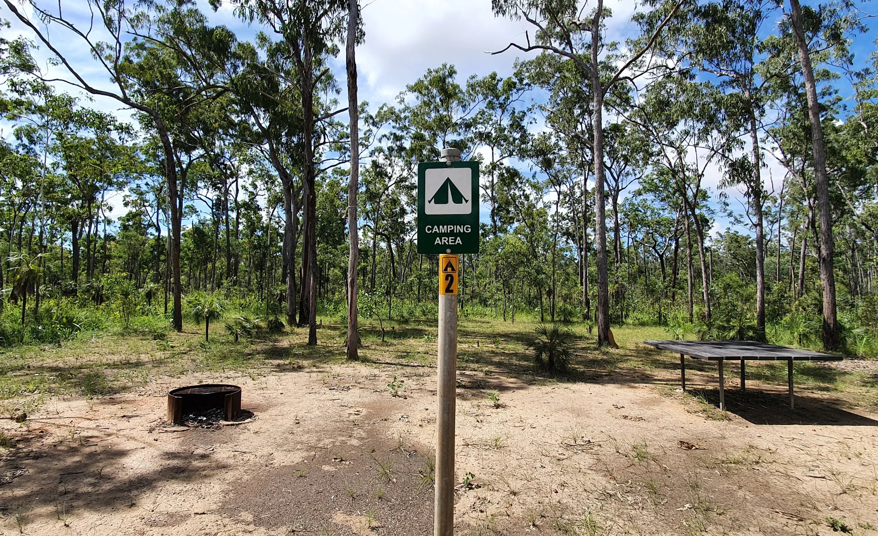
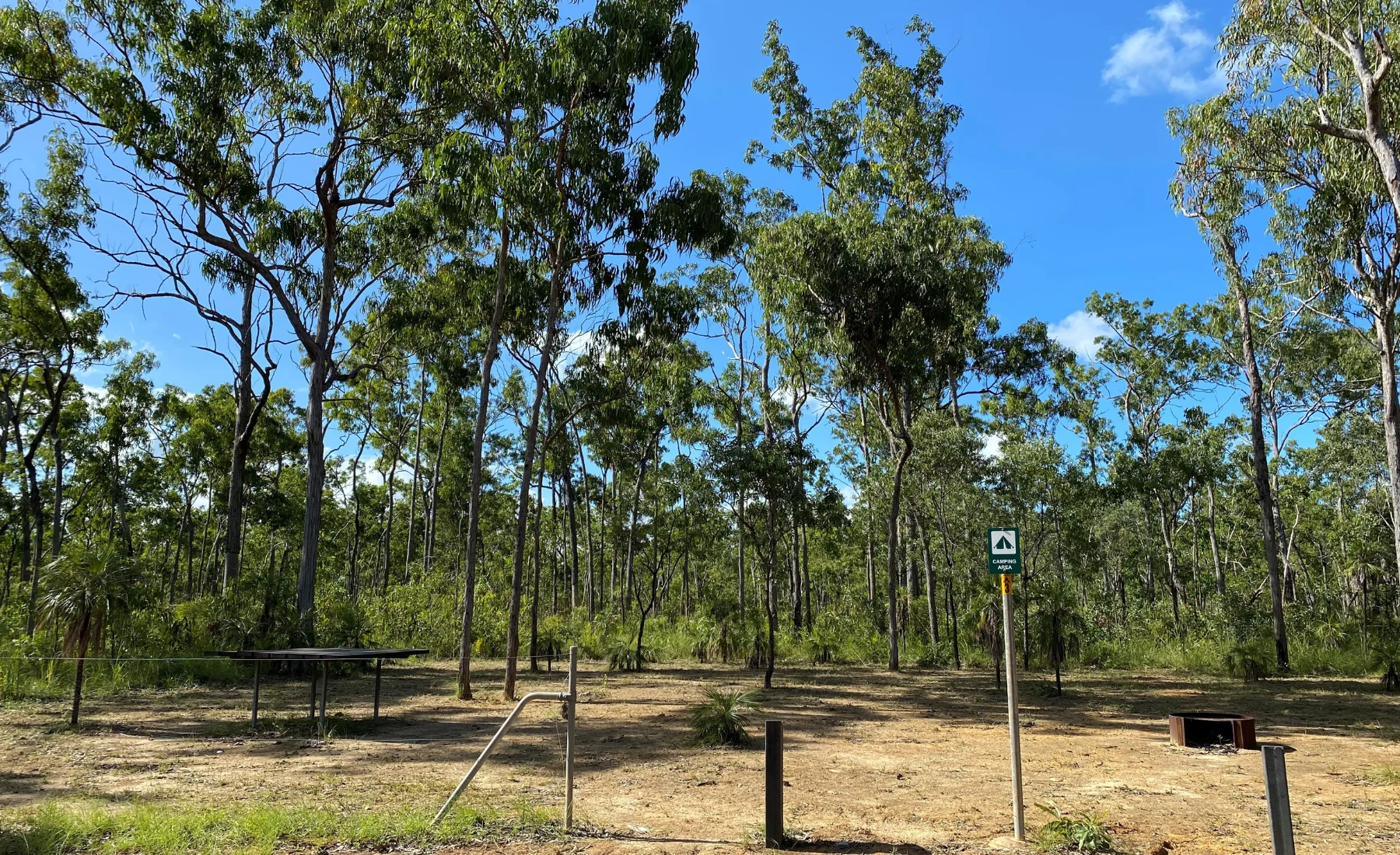
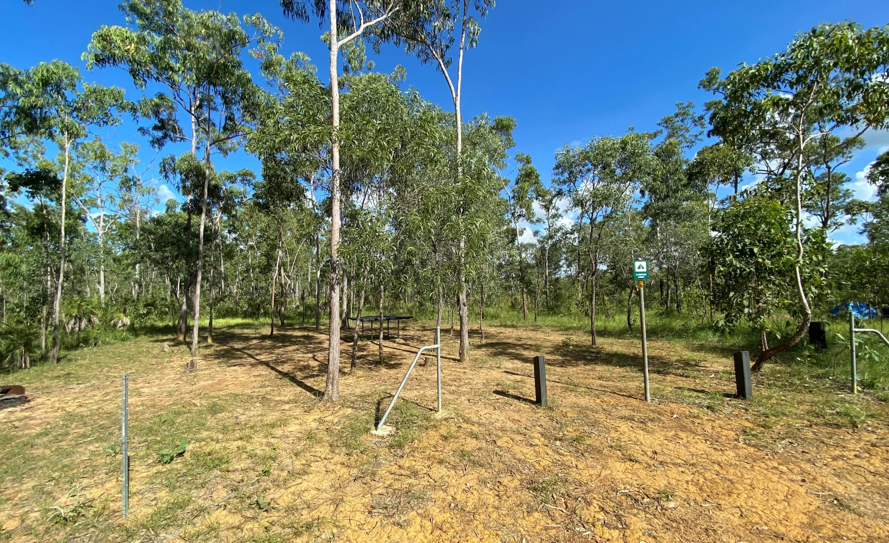
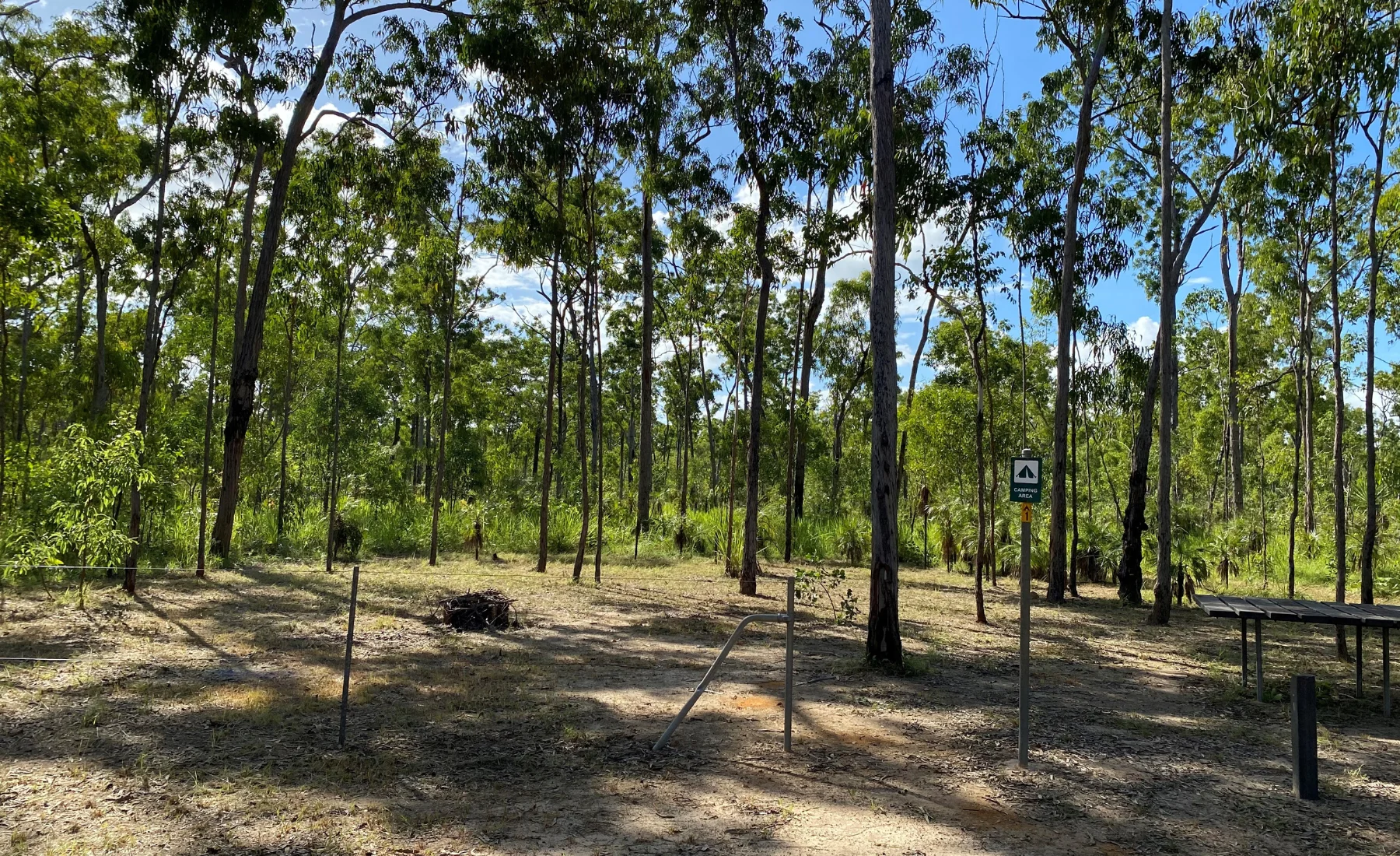
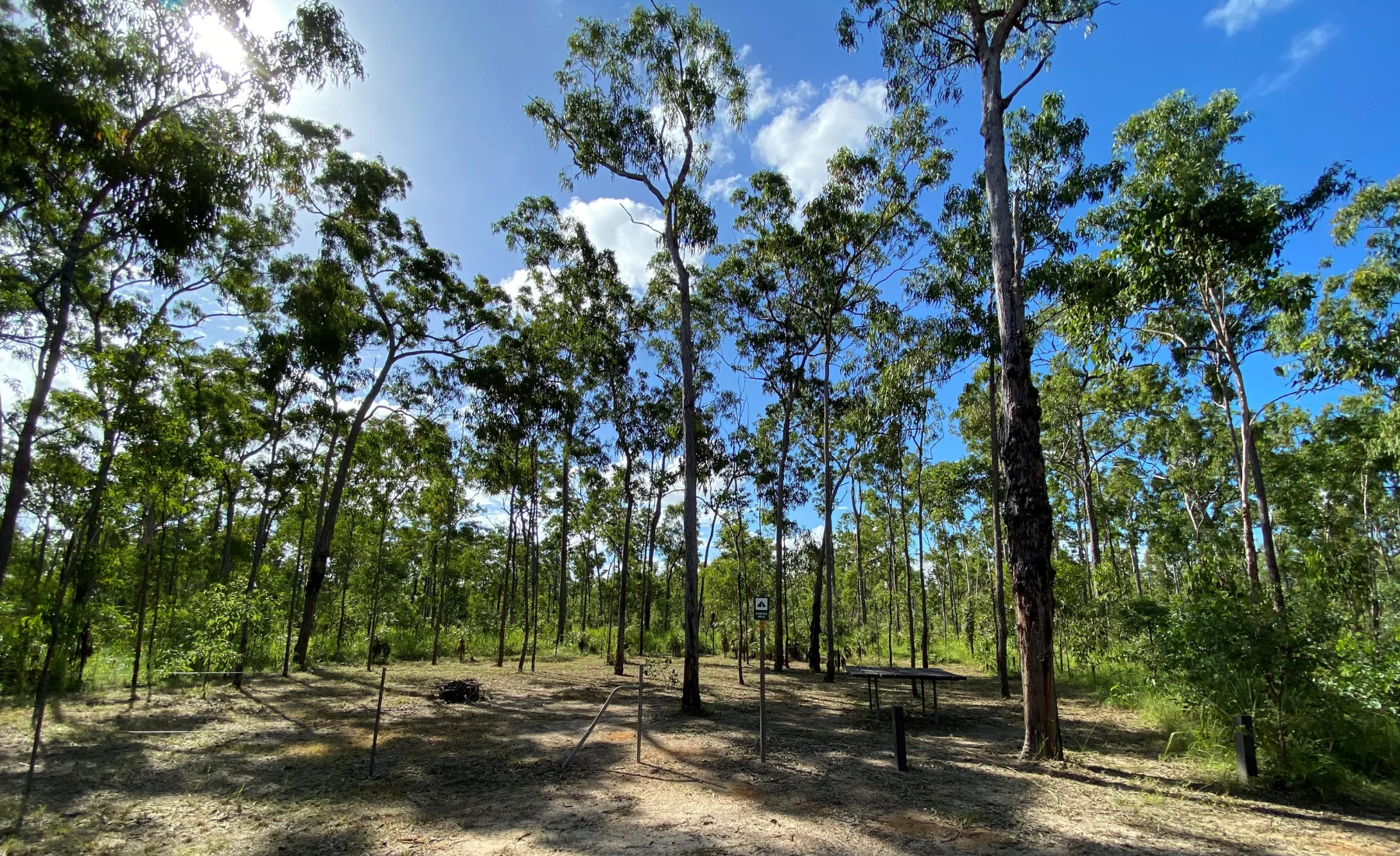
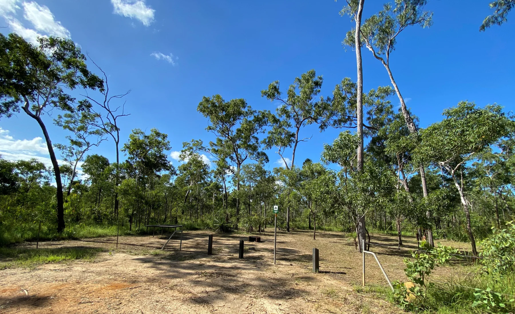
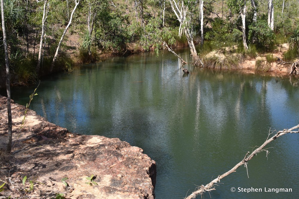
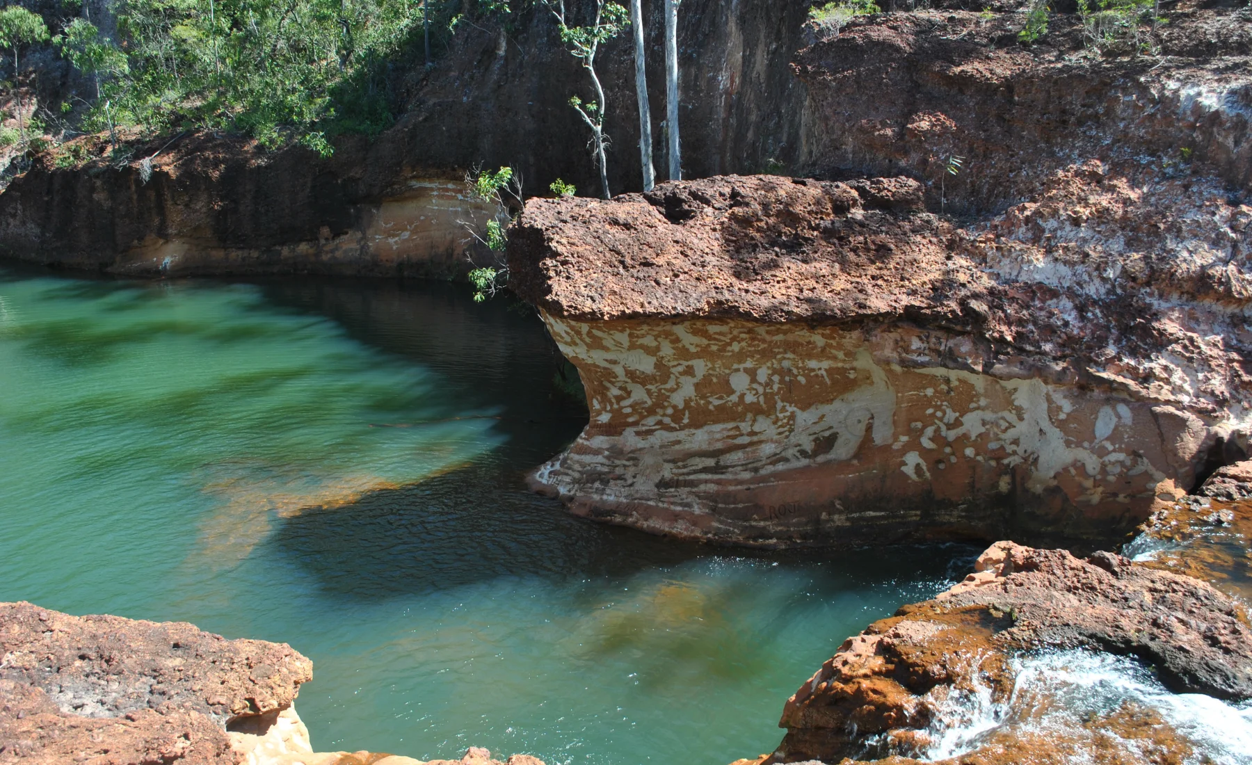
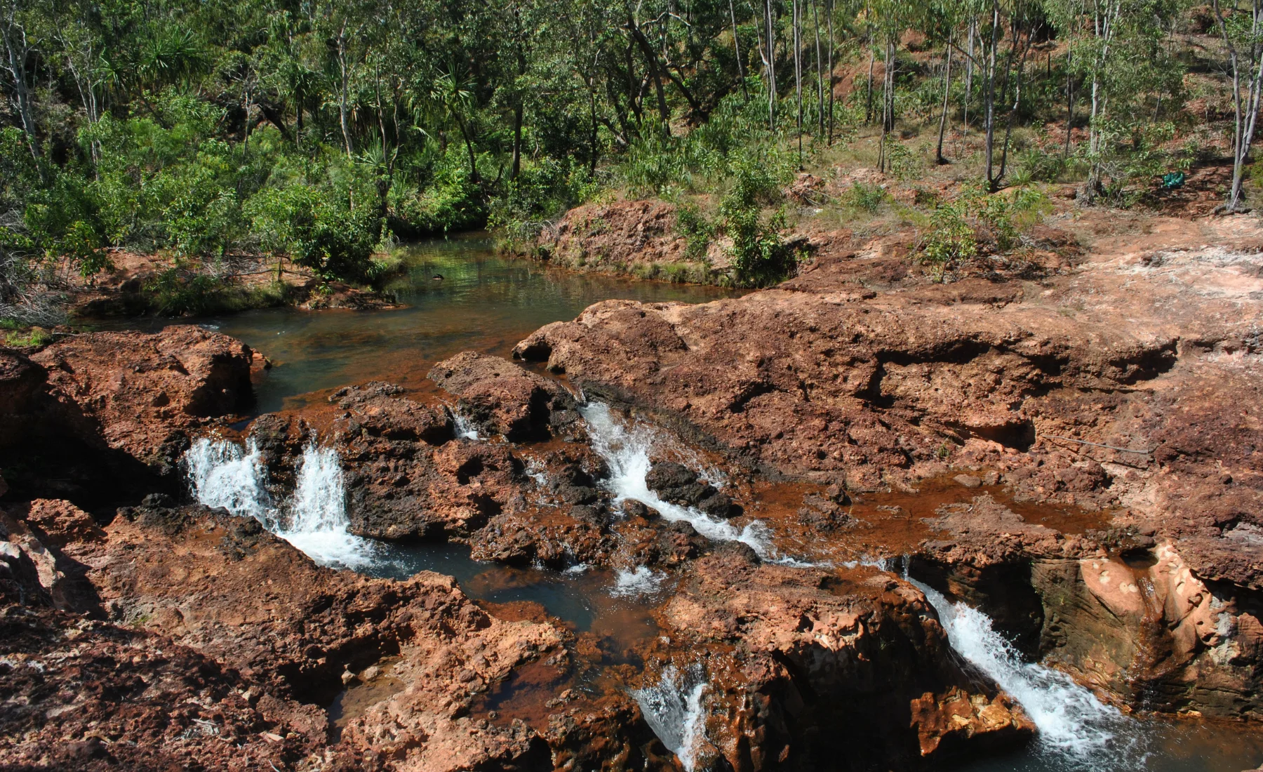
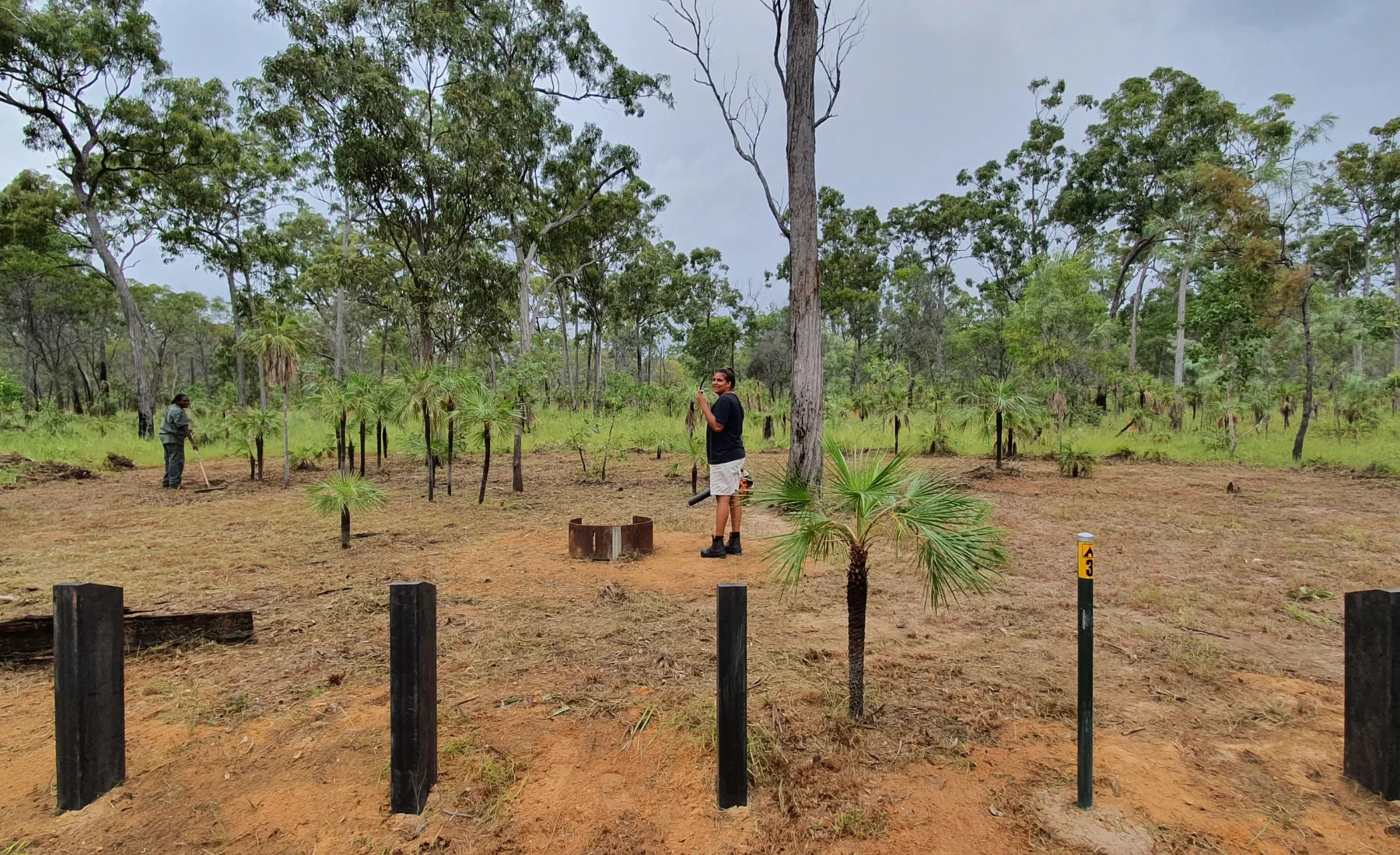
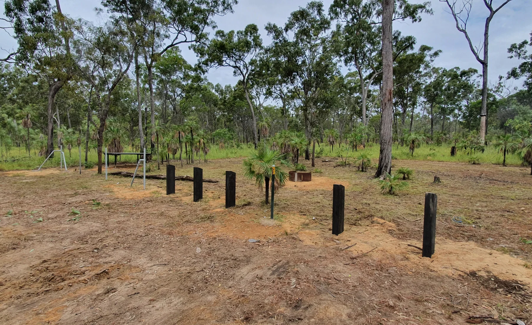
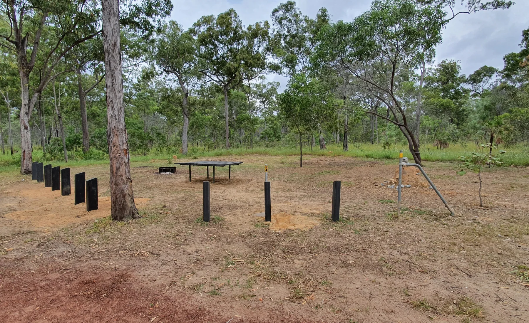
Guwatjurumurru (Giddy River)
51km from township
A river with a number of waterholes and mini-gorges. The track provides access to the western side of the river.
Resistant rock has defined the river channel’s shape, forming shallow shelves and small waterfalls alongside several camping spots.
✅ Compostable toilet located near Campsites 1 & 2
Campsite
Max Occupancy
Max Vehicle
Site 1
15
3
Site 2
15
3
Site 3
15
3
Ganinyarra (Granite Islands)
Approx 6.5km from Gove Boat Club
These small rocky islands in Wopurrwuy (Melville Bay) are a short boat journey from launching facilities at Perkins Wharf and the Gove Boat Club.
Small boats can be moored on the sandy beach of the largest island, where there is a picnic table facility, BBQ area and a shaded campsite above the beach. The coastline is rocky, with thick monsoon forest vegetation providing shade and shelter.
The smaller islands are made of exposed piles of shiny granite boulders, where a range of seabirds rests and fish can be found hiding in the shadows.
❌No toilets on the Island
❌Take all rubbish with you
Campsite
Max Occupancy
Max Vehicle
Site 1
15
BOAT ONLY
Waṉuwuy (Cape Arnhem)
50km from township
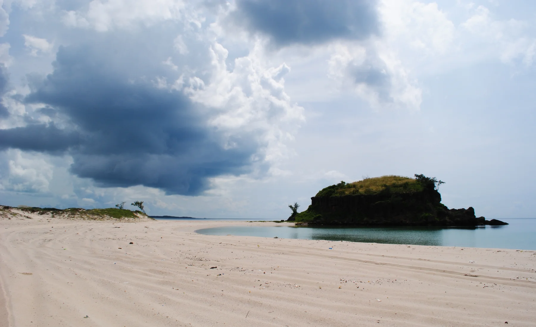
Wanuwuy is characterised by broad, long sandy beaches, extensive dune fields and clear seas. In some places the wind-formed dune system rises to 60 metres: the effect is dramatic and the area is visually spectacular. Wanuwuy is registered as a Sacred Area so please read signs carefully and steer clear of sacred sites.
Visitors can camp at Lurrpukurru (Oyster Beach), and at several other locations along the coastal strip where designated campsites have been created. The journey to the northerly campsites requires a substantial amount of beach driving and Dhimurru recommends that drivers lower their tyre pressure to 20 psi and ensure they leave plenty of time either side of low tide to do the drive.
Adjacent to the beach at Wanuwuy are the giant, majestic limestone outcrops of Gay\a[a, or Twin Eagles. Penthouse campsite 2 has a great view with a short walk to the beach.
Yolngu regard the formations as manifestations of ancestral \uykal, or trevally fish, which are an important totemic animal for the site. Visitors may walk or drive past this site to get to other camping areas, but because of its significance we ask that visitors do not camp or swim on its southern side. Gay\a[a is one of approximately 58 registered Sacred Sites in the vicinity of Wa2uwuy.
This area is highly popular with visitors and locals and advance booking is recommended.
Isolated campground with sheltered nooks and crannies amongst mature casuarinas with access to your own private beach away from the other 3 Wanuwuy campsites. Ideal for larger groups that want their own private gathering and perfect for families as it is a safe distance from the water’s edge. Only a 5 minute walk or 1 minute drive to a self-contained drop toilet.
One of the most sort after campsites in all of Arnhem Land known as the penthouse. Experience 180 degree views of the ocean high on a hill. Watch fish, sea eagles and turtles frolic in and around the water. Prime spot to experience Wanuwuy camping at its finest. A short walk to a self-contained drop toilet. Ideal spot for a small group of campers.
This campsite has a bauxite shelf nearby that is perfect for fishing when the time is right. With a sheltered rocky beach watch the daily tides turn as the water rushes in bringing in with it little fish and crustaceans. Explore the rock pools and hunt for fresh rock oysters. The campsite is very shady amongst mature casuarinas and only a short walk to a self-contained drop toilet.
Set up behind a large sand dune that would be thousands of years old this campsite will keep you sheltered from the wind regardless of the weather. Set amongst a casuarina forest this place is set up for larger groups and is only a short walk to an exclusive beach made of white sand and rugged sandstone cliffs. Feel the remoteness in this quiet little part of the world and enjoy star gazing at its finest.
Manaŋaymi (Scout Camp)
48km from township
Located on the northern side of the Central Arnhem Road. This is an extremely popular spot for families and groups due to the ease of access, sandy open woodland, and shallow freshwater.
The campsites at Manangaymi include some that are suitable for camper trailers, whilst others are more suited to bush camping with BBQ’s and tables. This is a popular spot; advanced booking is recommended.
❌ DO NOT cross over creek near first Day-use area
❌ No camper trailers for sites 4 & 5
Campsite
Max Occupancy
Max Vehicle
Site 1
6
1
Site 2
6
1
Site 3
6
1
Site 4
10
2
Site 5
10
2
Gapuru (Memorial Park)
65km from township
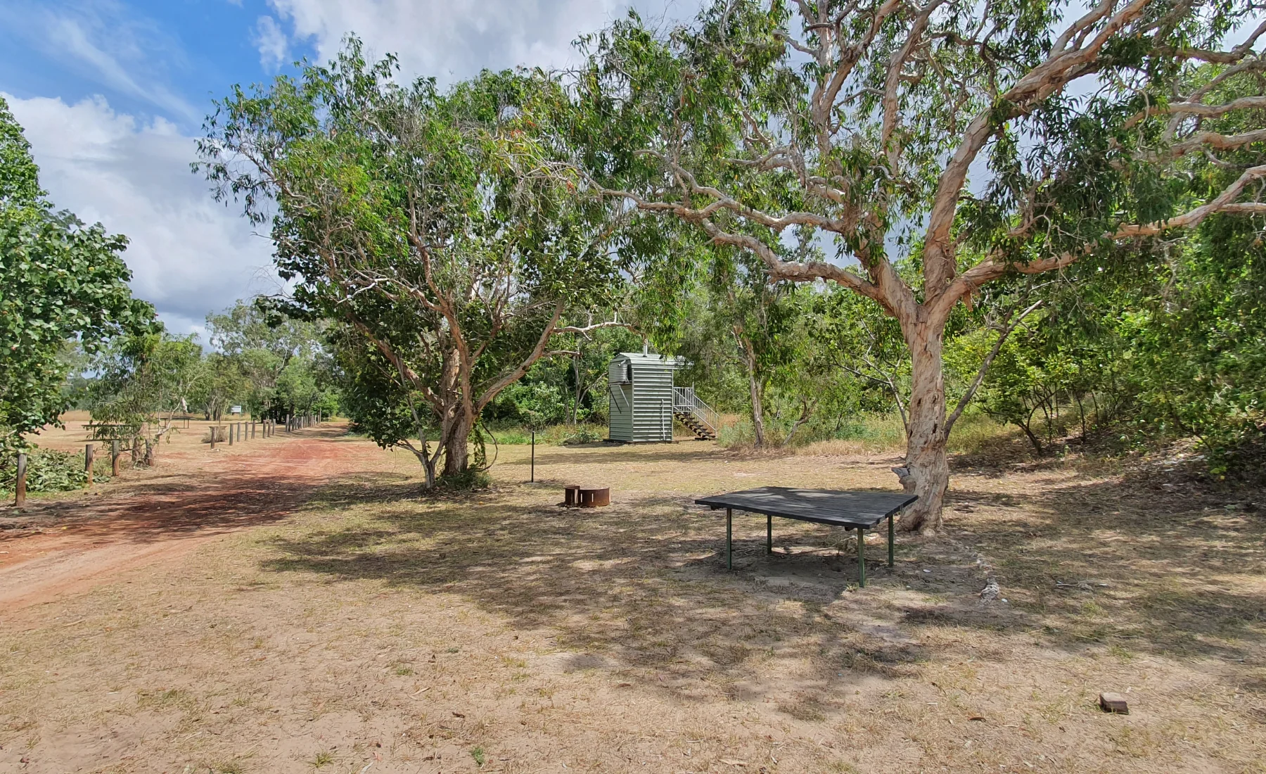
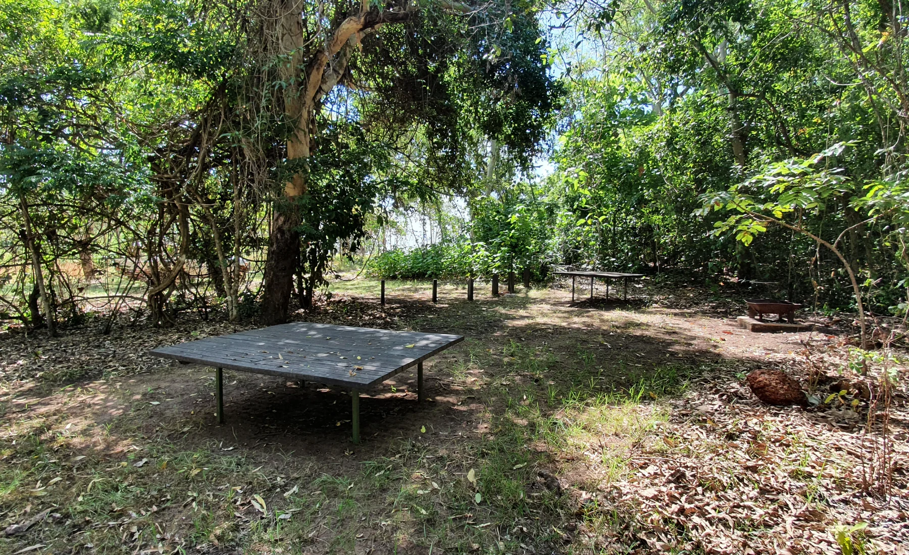
An exclusive freshwater recreational area. Offering a private campsite for up to 25 people. Accessible via a rough dirt track off Central Arnhem Road, the site is nestled near beautiful rockpools and small rapids. With a picnic table, fire pit, and composting toilet, this secluded spot guarantees a peaceful, uncrowded experience for groups, as only one booking is allowed at a time with a maximum of five vehicles from the same party.
❌ Sacred areas, please read signs carefully and adhere to the rules.
❌ NO DAY VISITS UNLESS BOOKED!!
✅ Compostable toilet available for use
Campsite
Max Occupancy
Max Vehicle
Site 1
25
5
Gaṉami (Wonga Creek)
57km from township
A freshwater creek running through the open Eucalypt Forest. It forms a mangrove estuary at it’s mouth where it flows into Port Bradshaw. The camp site is a waterhole with rock pools and flowing water all year round. It is at the upper limits of tidal influence and crocodiles inhabit the area.
This serene and secluded area is often cut off by wet season rains. For this reason, we only open it when there is safe access. Due to it often being closed, it is popular when open. We recommend you check and book online well ahead of your planned visit to ensure you can reserve the site.
❌ No Camper trailer due to track access
❌ No Day Access unless booked in
❌ No Toilet Access
Campsite
Max Occupancy
Max Vehicle
Site 1
25
5
Baṉambarrŋa (Rainbow Cliff)
Located just out of Nhulunbuy, features stunning colorful cliffs over 40 meters high, surrounded by diverse ecosystems like forests, mangroves, and beaches. Visitors with access permits can explore two primary areas: the Day-Use Area for panoramic views and geological features, and the Campsite Area for Camping permit holders only. This site offers a blend of natural beauty and outdoor recreation, perfect for day trips or camping.
❌ Top of the cliff is a Sacred site and access is not permitted.
❌ No photos of the Cliff face to be shared on social media as per traditional owner’s request.
Compostable toilet located near Campsite 3.
Campsite
Max Occupancy
Max Vehicle
Site 1
10
2
Site 2
15
3
Site 3
15
3
Site 4
10
2
Bariŋura (Little Bondi Beach)
41km from township
Baringura is a stretch of white sand with rolling sand dunes and a popular beach camping spot with both locals and visitors. The last section of this track is sandy and parking in this area is on sand. There are no marked campsites and is on a first come first served basis.
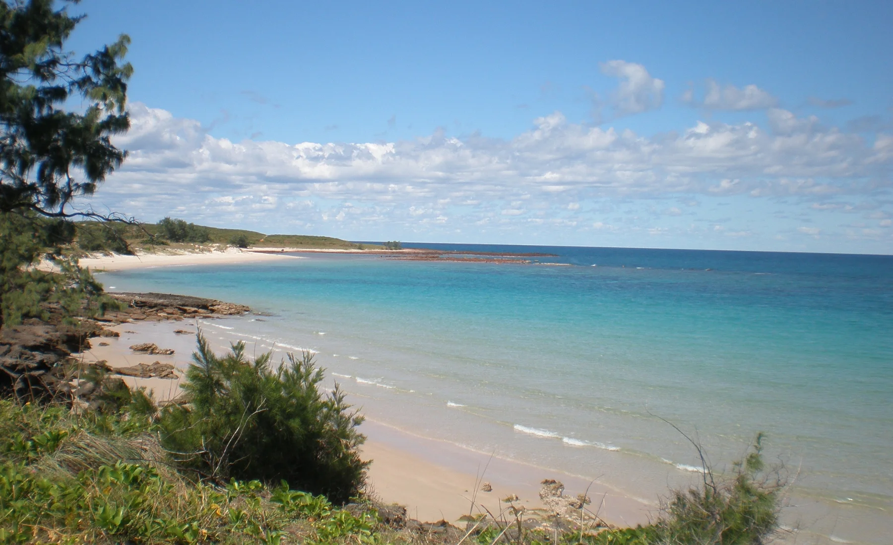
The track descends to the car park via a slope covered by open eucalypt forest that alternates near the base of the slope with coastal monsoon vine forest and vegetation characteristic of lowland freshwater streams, including paperbarks and Pandanus species. The beach is a stretch of white sand with rolling sand dunes.
Caution should be taken near the rocks as dangerous strong rips sometimes occur and crocodiles have been seen here. Lower Tyre pressure before heading down to beach.
✅ Beach Camping
✅ Sandy Track
✅ Toilet access available before you get down to the beach
Campsite
Max Occupancy
Max Vehicle
Site 1
6
1
Site 2
6
1
Site 3
6
1
Site 4
6
1
Site 5
6
1
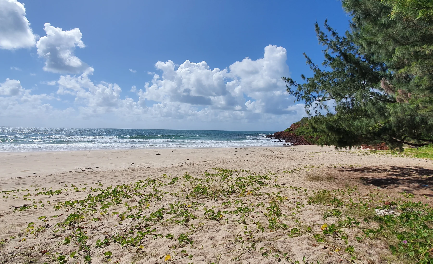
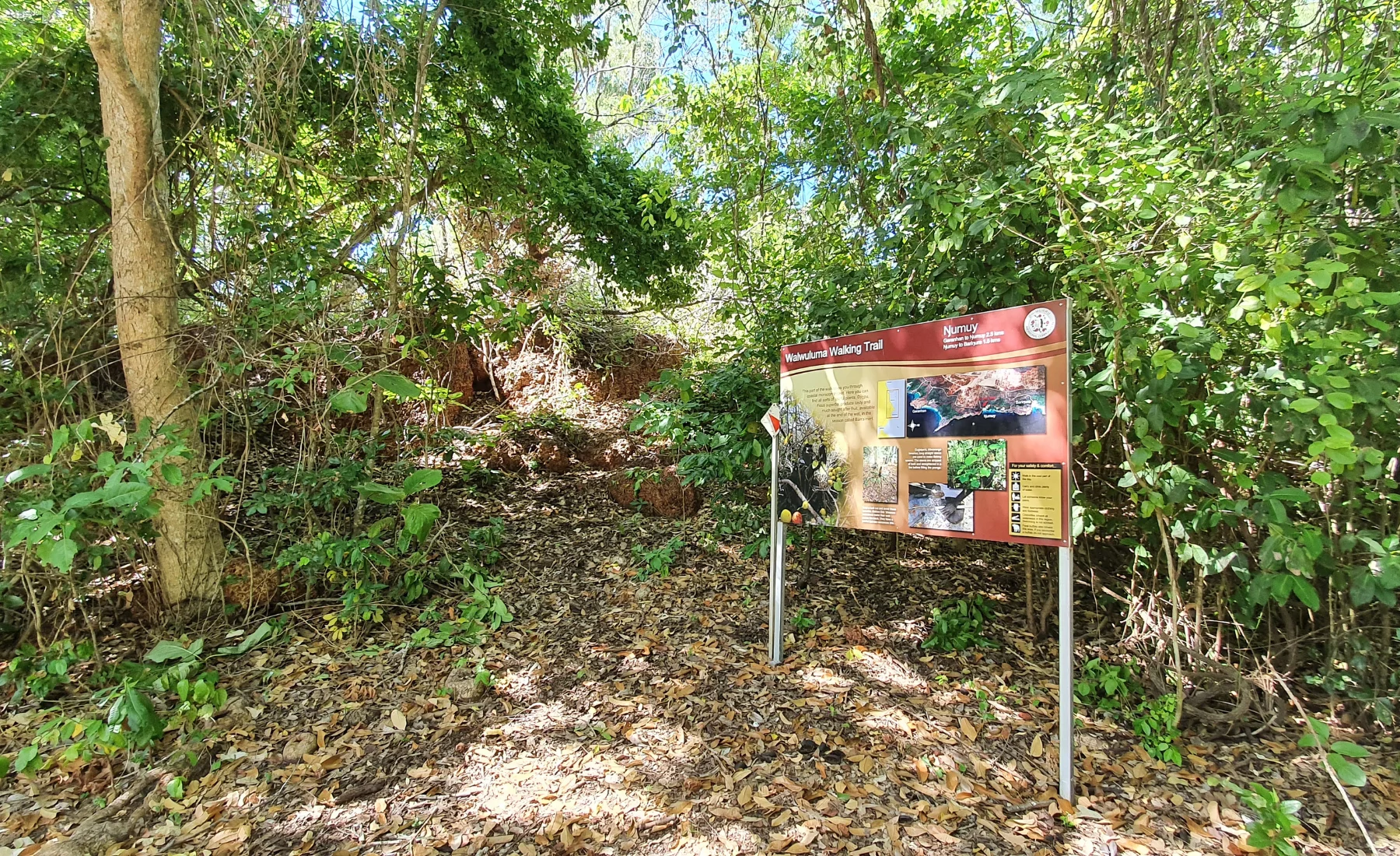
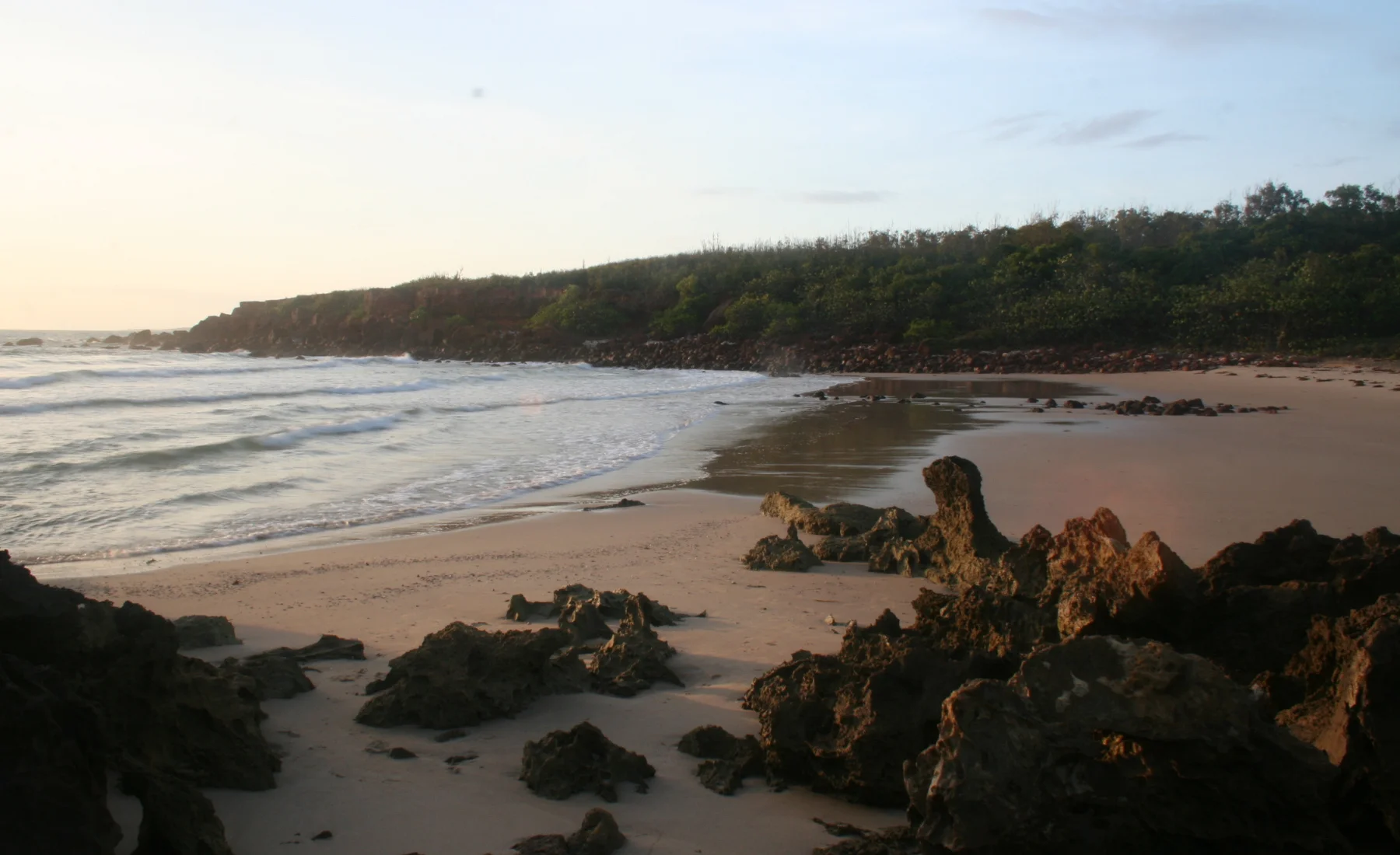
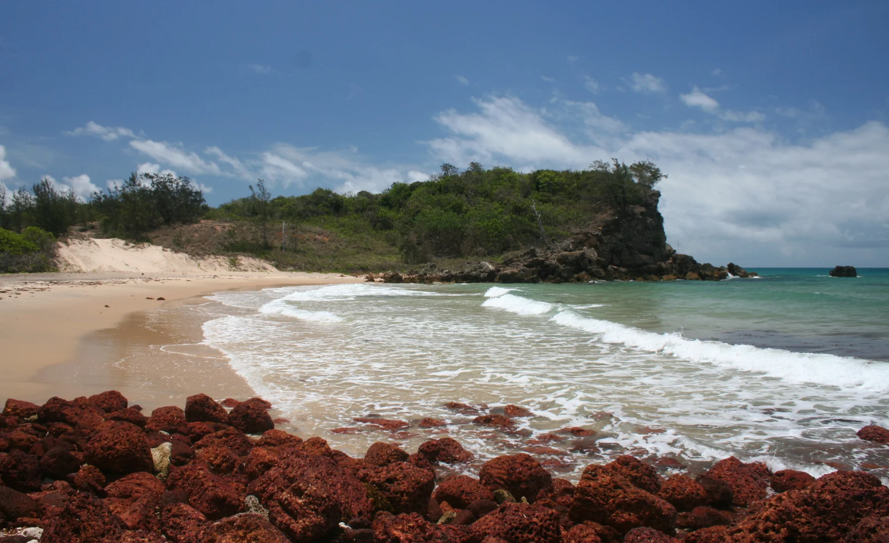
Ŋumuy (Turtle Beach)
40km from township
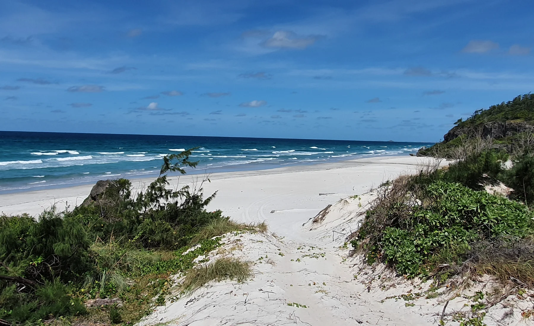
The access track winds through a patch of coastal monsoon vine forest to the white sands of this popular beach. The track conditions are sandy and rocky in parts with some sections being quite narrow. Whilst a beautiful beach, caution should be taken as crocodiles inhabit these waters and rips are strong here.
A popular area for day visitors. The access track winds through a patch of retja, or coastal monsoon vine forest, to the white sands of this popular beach. Walking tracks to Bariŋura (Little Bondi Beach) and Garanhan (Macassan Beach) form an onward walking trail.
Caution should be taken near the rocks as dangerous strong rips sometimes occur and crocodiles have been seen here.