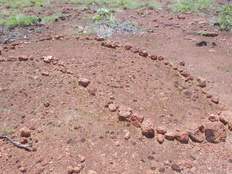
Wurrwurrwuy - Garanhan (Macassan Beach) stone pictures
A Yolŋu record of Macassan traders
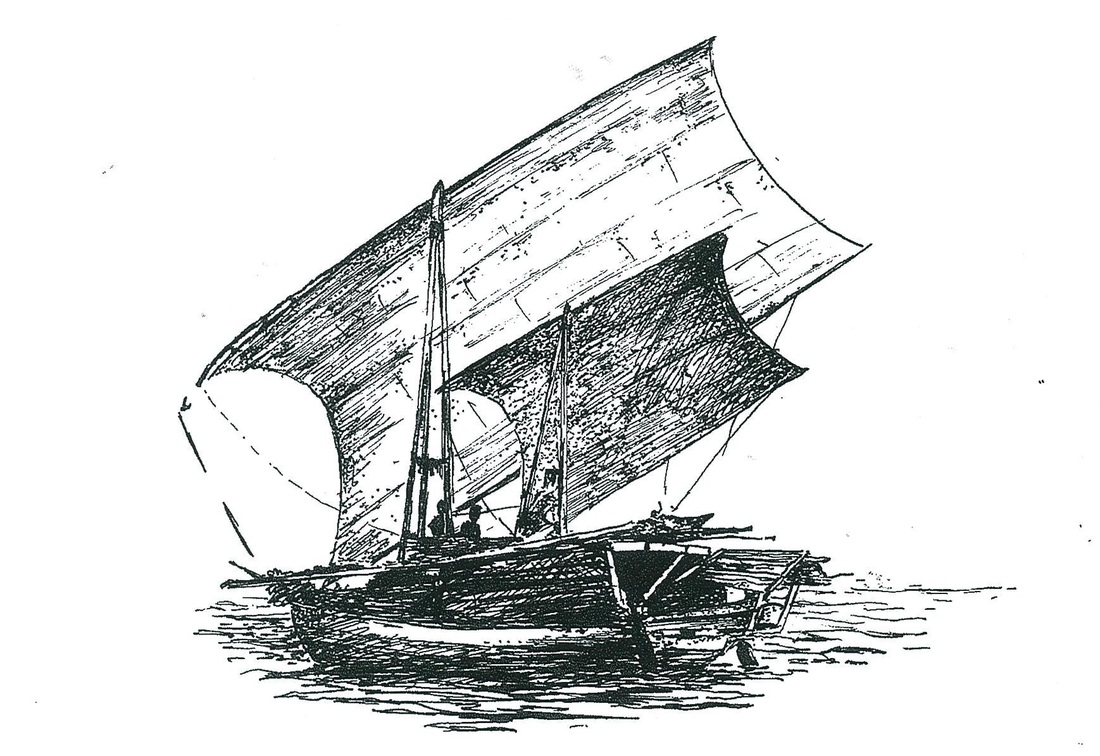
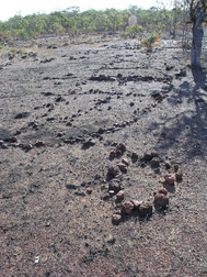
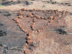
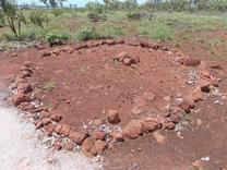
Wurrwurrwuy is the Yolŋu name of the area near Garanhan where there is a unique cluster of stone arrangements behind the rock-shelf. The area covered by these ‘stone pictures’ is approximately 70 metres by 80 metres. The outline pictures provide a window into the trade between the Yolŋu of northeastern Arnhem Land and Indonesians that had existed for several centuries until 1907 when South Australia, which administered the Northern Territory at the time, began using aggressive measures to collect customs duty. The Indonesians, mostly from Macassar in Sulawesi, came annually for trepang (dharripa, beche-de-mer or sea cucumber), turtle shell, and pearl shell to sell to Chinese traders. They sailed in their tri-masted praus on the northwest monsoon winds, and returned on the southeast trade winds. The Macassans acknowledged the Yolŋu as owners of the land and the marine resources, and relations between Yolŋu and Macassans were generally business-like and often cordial. Matthew Flinders, on his circumnavigation of Australia, encountered a fleet of Macassans near Cape Wilburforce in 1803 and spoke with Pobasso, the captain. Pobasso told him that two or three Yolŋu sailed each year with the fleet to Macassar and that some had remained there.
The stone pictures were probably constructed by Yolŋu elders toward the end of the nineteenth century, and in the 1960s clan leaders Mungurrawuy Yunupingu and Mawalan Marika told Campbell Macknight that the arrangements had been made by older members of their families so that future generations of Yolŋu would know the history of the Macassan visits. Mungurrawuy’s father had actually been to Macassar. The photographs indicate that as of 1967 Yolŋu kept the site clear of woody weeds and the stones free of obstruction.
Campbell Macknight, an archaeologist, and Bill Gray, then of the Social Welfare Branch, Northern Territory Administration, photographed the stone pictures and recorded Mungurrawuy’s and Mawalan’s explanations of their meaning and use in 1967. The Australian Institute of Aboriginal Studies published the photographs and text in 1969. Professor Macknight kindly provided Dhimurru Aboriginal Corporation with copies of the original photographs for use in rehabilitating the site and restoring the stone arrangements.
The arrangements can conveniently be viewed in four clusters (I – IV); Cluster I is nearest the beginning of the walking trail. The first part of the walking trail follows a trail that Macknight and Gray say was originally made by buffalo, which by 1967 had already damaged some of the pictures.
The arrangements
Macknight, C. C. and W. J. Gray, Aboriginal Stone Pictures in Eastern Arnhem Land. Canberra: Australia Institute of Aboriginal Studies, 1970.
